What is recorded here
There is no better evidence for a human hand than an oval shape on a hillside. A ringfort is a drawn circle, not a hidden chamber. It may have been a home, a boundary marker, or a place where people gathered to watch the sky. The fairy fort label is a story people told later. The oval shape is the fact.
On a W-facing slope in rolling pastureland. This very poorly preserved enclosure (42.3m E-W; 28m N-S), roughly oval in plan, is defined by a slightly raised platform. The general topography of the area and its designation on the OS 6-inch maps suggests that it was probably a rath.
Compiled by: Galway Archaeological Survey, UCG
Date of upload: 21 February 2019
The monument record does not grant public access. Check the route and ask the landowner before entering private land.
- What survives
- Recorded monument
Places near here
 Dunsandle Railway Stationrailway station · 452 yd
 Enclosure in Carrowkeel (athenry By.)Enclosure · 794 yd
 Settlement cluster in Carrowkeel (athenry By.)Settlement cluster · 1076 yd
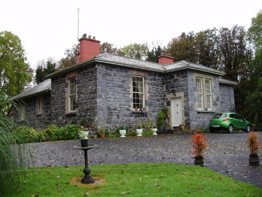 Rathville Housecountry house · 1131 yd
 Galboley Castle (in ruins)Castle, unclassified · 1.6 mi
 Turoe StoneHeritage attraction · 1.7 mi
 Castle (in ruins)Castle, tower house · 2.3 mi
 Moyard WoodWood · 4.6 mi
 Barrack IslandIslet · 4.8 mi
 Middle IslandIslet · 4.9 mi
 Woodlawn WoodsForest · 6.2 mi
 Kilconnell AbbeyHeritage attraction · 9.4 mi