What is recorded here
Clashaganny holds a near-perfect earthen ring, twenty-nine metres across, where a stone-lined gap still marks the entrance. The bank rises highest on the west side while nettles and thistles trace the forgotten ditch, proving the boundary never fully dissolved. People may have lived inside this small fort before becoming legend, shaping soil into a circle that resistance and time cannot easily erase.
In undulating pastureland. An almost circular rath (29.5m N-S; 28.5m E-W), in fair condition, defined by a bank best preserved at W. The line of an external fosse is indicated by a band of nettles and thistles. A stone-lined gap (Wth 3m) at NE appears to be original.
Compiled by: Galway Archaeological Survey, UCG
Date of upload: 27 November 2017
The monument record does not grant public access. Check the route and ask the landowner before entering private land.
- What survives
- Recorded monument
Places near here
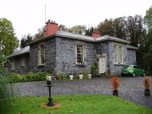 Rathville Housecountry house · 420 yd
 Dunsandle Railway Stationrailway station · 981 yd
 Enclosure in Carrowkeel (athenry By.)Enclosure · 1416 yd
 Settlement cluster in Carrowkeel (athenry By.)Settlement cluster · 1617 yd
 Galboley Castle (in ruins)Castle, unclassified · 1.5 mi
 Turoe StoneHeritage attraction · 1.7 mi
 Castle (in ruins)Castle, tower house · 2.7 mi
 Moyard WoodWood · 4.9 mi
 Barrack IslandIslet · 5.0 mi
 Middle IslandIslet · 5.1 mi
 Dartfield Horse MuseumHeritage attraction · 5.6 mi
 Woodlawn WoodsForest · 5.7 mi