What is recorded here
In pasture, on the upper edge of an ENE-facing slope. This monument was described by Cahill (1982) as being in 'fair condition - some interference interior. 1 bank - large amount of stone used in construction - W section of bank destroyed by building field fences - dimns: 30m'. No visible surface trace. Possible faint surface trace of slight rise in N-corner of field. Depicted on 1st (1840) ed. OS 6-inch map as a sub-circular area truncated by field boundary to W.
Compiled by: Jean Farrelly
Date of upload: 26 August 2011
A fairy fort / earthen ringfort in Clare More is a circular earthen enclosure, likely dating to the early medieval period, constructed with a substantial stone-reinforced bank on its western side. Local folklore, common to many such sites in Ireland, associates it with fairy activity, and it may have been considered a sacred or supernatural place in both ancient and more recent times.
The monument record does not grant public access. Check the route and ask the landowner before entering private land.
- What survives
- Recorded monument
Places near here
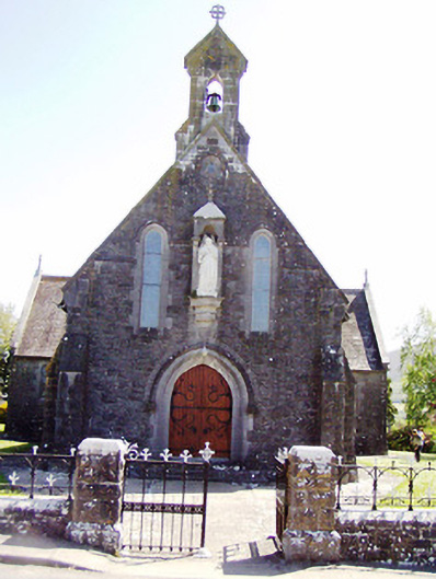 Catholic Church of the Sacred Heartchurch/chapel · 539 yd
 Killusty Bridgebridge · 589 yd
 Clare Castle (in ruins)Castle, hall-house · 655 yd
 Killusty CastleCastle · 1387 yd
 IndicatedEnclosure · 1632 yd
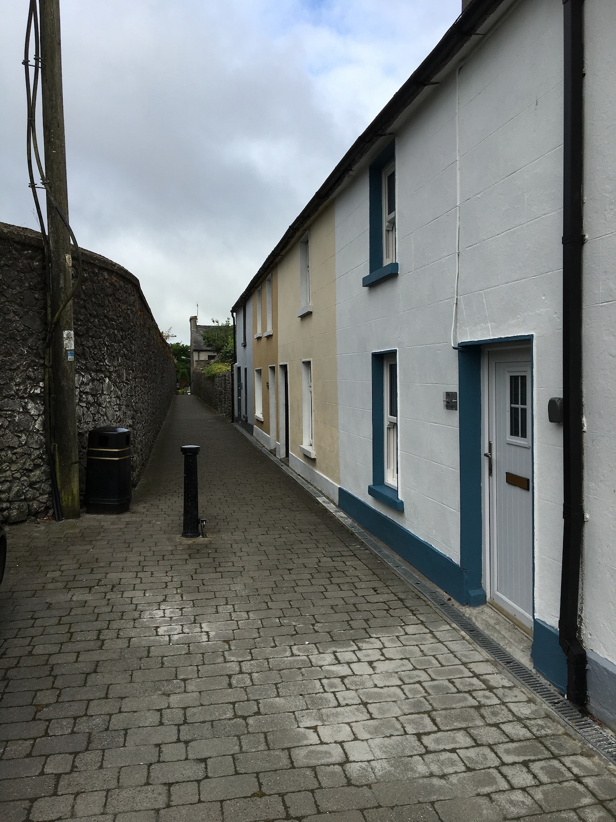 Enclosure in MilestownEnclosure · 1.1 mi
 Pedunculate OakPedunculate Oak · 1.6 mi
 CarrigdotiaMountain / peak · 1.7 mi
 CarrickbrockMountain / peak · 2.1 mi
 Grove WoodForest · 2.3 mi
 East GateMemorial · 2.6 mi
 Clare Br.Bridge · 686 yd