What is recorded here
Fairy fort / earthen ringfort in Claragh Scotch is a fairy fort or earthen ringfort in Claragh Scotch, County Sligo, Ireland. It occupies a rise on the south-facing slope of a ridge within pasture, though the possible rath is not visible at ground level. Historical maps show an embanked circular area about twenty-five metres across in 1838 and a pear-shaped scarp incorporated into field boundaries in 1914.
In pasture, on a rise, on the S-facing slope of a ridge. This possible rath is not visible at ground level. It is indicated on the 1838 OS 6-inch map as an embanked circular area (diam. c. 25m) and on the 1914 OS 6-inch map as a hachured pear-shaped area defined by a scarp N-S and incorporated into a field boundary system elsewhere.
The above description is derived from the published 'Archaeological Inventory of County Sligo' compiled by Ursula Egan, Elizabeth Byrne, Mary Sleeman with Sheila Ronan and Connie Murphy (Dublin Stationery Office, 2005).
Date of upload: 18 January 2008
The monument record does not grant public access. Check the route and ask the landowner before entering private land.
- What survives
- Recorded monument
Places near here
 IndicatedFairy fort / earthen ringfort · 258 yd
 Indicated (1838).Enclosure · 350 yd
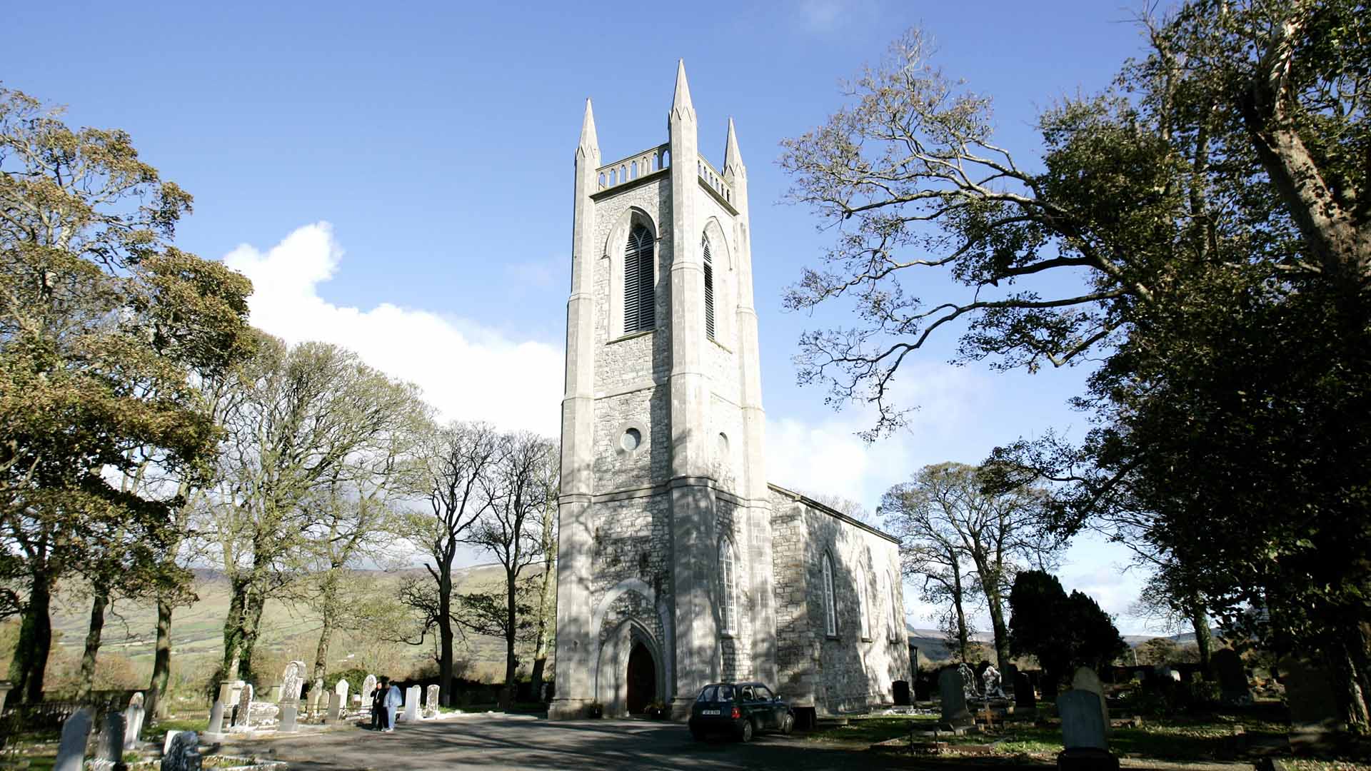 Church (in Ruins)Church · 1467 yd
 European ashEuropean ash · 1.4 mi
 Abbey CourtReligious house, Franciscan friars · 1.8 mi
 CastleCastle, unclassified · 1.9 mi
 ElderElder · 1.9 mi
 KnocknasheeMountain / peak · 2.1 mi
 RathdoonyCastle, motte · 4.0 mi
 Tullaghan HillMountain / peak · 4.6 mi
 Brother WalfridMemorial · 5.0 mi
 James MorrisonMemorial · 7.3 mi