What is recorded here
Half a kilometre east of Claddagh Bridge, a buried hand still holds its shape: two earth banks, a narrow ditch between them, and a gap at the northwest where someone walked in. The field wall has climbed the outer ridge since, but the fort remains visible enough to measure, thirty-seven metres north to south and thirty-two east to west. It is the kind of place where ordinary life would have sounded like footsteps, breath, and the knock of a door, while the land kept only the curve of that door.
On a rise in low-lying grassland. Subcircular ringfort (N-S 37m, E-W 32m), in fair condition, defined by two banks and an intervening fosse. Inner and outer stone-facing is visible intermittently on the inner bank. A field wall overlies the outer bank from NE through E to SE. There is an entrance at NW.
The above description is derived from the published 'Archaeological Inventory of County Galway Vol. II - North Galway'. Compiled by Olive Alcock, Kathy de hÓra and Paul Gosling (Dublin: Stationery Office, 1999).
Date of upload: 05 August 2010
The monument record does not grant public access. Check the route and ask the landowner before entering private land.
- What survives
- Recorded monument
Places near here
 Claddagh Castle (in ruins)Castle, tower house · 503 yd
 Enclosure in Claddagh WestEnclosure · 509 yd
 IndicatedEnclosure · 992 yd
 Catholic Church of Our Lady and Saint Jarlathchurch/chapel · 1317 yd
 Church in Levally EastChurch · 1.5 mi
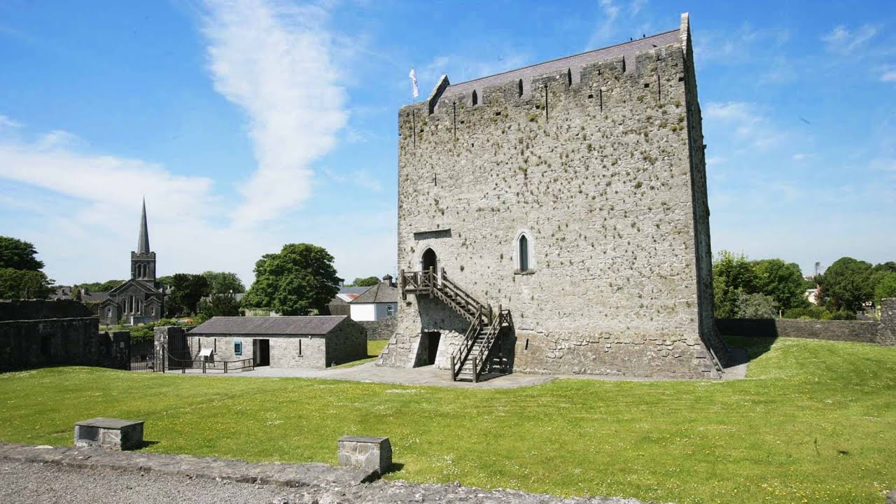 Lerhin CastleCastle · 3.6 mi
 HawthornHawthorn · 6.0 mi
 Knockmoy AbbeyHeritage attraction · 7.2 mi
 European ashEuropean ash · 7.9 mi
 Mass RockNamed rock · 9.6 mi
 Menlough IRAMemorial · 9.9 mi
 Man-made underground passage in Claddagh WestMan-made underground passage · 1048 yd