What is recorded here
Double banks and a deep ditch still mark the rath above Kildurrihy, though the outer ring has become a field boundary and the true entrance remains only a faint causeway through the inner bank. The fort is small enough to walk in minutes yet large enough to swallow a household, which is probably why fairy names replaced the human ones.
Internal diam. 24m N-S, 25m E-W
Situated on an E facing slope, a short distance N of Kildurrihy village, this circular rath is defined by 2 concentric banks, separated by a fosse. The outer bank is maintained on all but its S side as a field boundary and is faced in parts with drystone masonry. It averages 1.5m in height. The lack of any clear evidence for a formal entrance through the bank suggests that it is, at least in part, a secondary feature. The fosse ranges from 3.5 to 6m in width and is a maximum of 3m deep. The inner bank rises to a maximum height of 3m above the fosse and 1m above the interior. A break in the inner bank at E and a slight causeway across the fosse here probably represent the original entrance, but there is no corresponding break in the outer bank.
The above description is derived from J. Cuppage, ‘Corca Dhuibhne. Dingle Peninsula archaeological survey. Ballyferriter. Oidhreacht Chorca Dhuibhne’ (1986), no. 464. In certain instances the entries have been revised and updated in the light of recent research.
Date of upload: 7 August 2013
The monument record does not grant public access. Check the route and ask the landowner before entering private land.
- What survives
- Recorded monument
Places near here
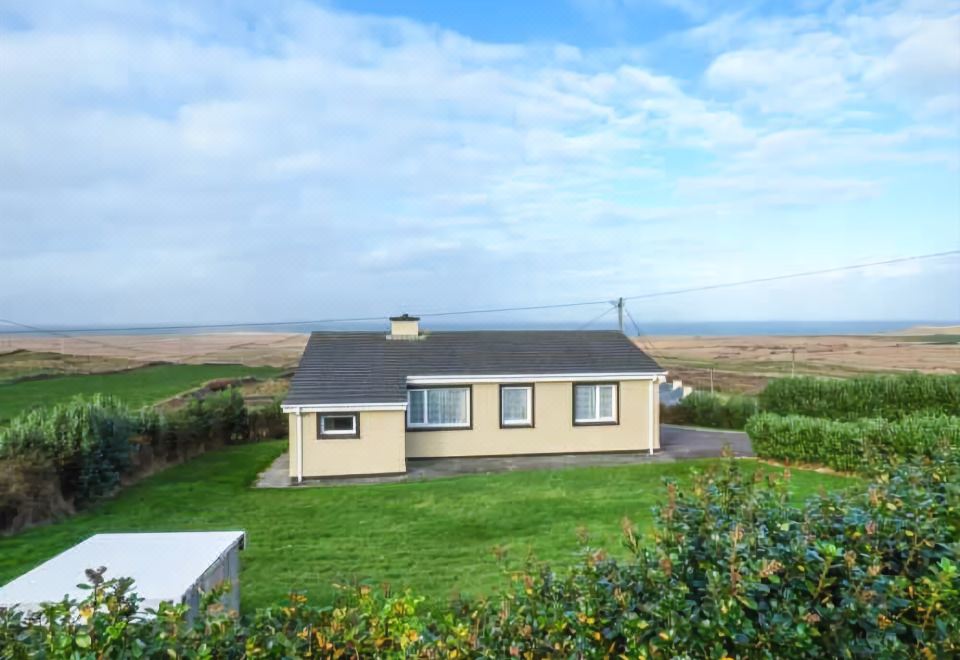 St. Brendans WellHoly well · 166 yd
 Church in Cill Ura ThoirChurch · 323 yd
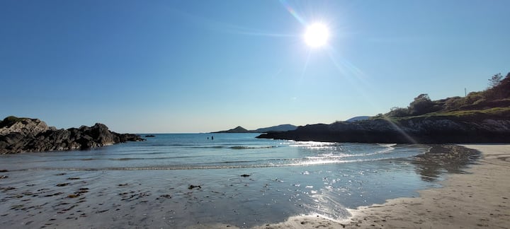 Man-made underground passage in Cill Ura ThiarMan-made underground passage · 439 yd
 Séipéal Chaitlín Naofa [Saint Catherine's Catholic Church]church/chapel · 1.2 mi
 Sliabh an IolairMountain / peak · 1.3 mi
 Rahinnane Castle (in ruins)Castle, tower house · 1.4 mi
 Cruach MhárthainMountain / peak · 1.6 mi
 Irish Famine CottagesMuseum · 1.7 mi
 Dunbeg FortHeritage attraction · 1.9 mi
 St Brendan's WellSpring · 2.2 mi
 Trá Ciarán BeachBeach / strand · 2.3 mi
 Dún BinneHeadland · 2.4 mi