What is recorded here
Situated on a low rise of ground on wet marshy land in area now planted with coniferous trees. Depicted as an oval-shaped enclosure on the 1838 ed. OS 6-inch map but as a rectangular shaped earthwork on the 1911 ed. OS 25-inch map. The shape of the monument appears to have been modified when a post-1700 field boundary running NE-SW was constructed on the S side of the monument. This field boundary now forms the enclosing element of the monument on the SW side. Present remains consist of a sub-rectangular shaped area (diam. 37m NW-SE x 30m NE-SW) enclosed by poorly preserved remains of a low bank and external fosse, no clear entrance feature visible. The grass-covered wall footings of two hut sites (WM026-032001-/002-) are visible in the centre of the ringfort.
See attached plan and profile of monument surveyed and drawn by the ASI.
Compiled by: Caimin O'Brien
Date of upload: 23 January 2018
The monument record does not grant public access. Check the route and ask the landowner before entering private land.
- What survives
- Recorded monument
Places near here
 Hut site in CatherinestownHut site · 4 yd
 CastleCastle, tower house · 633 yd
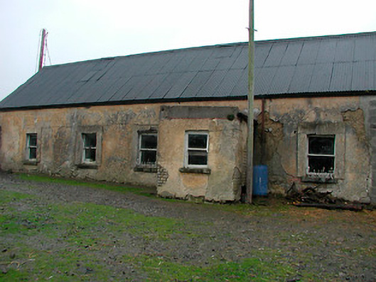 farm housefarm house · 708 yd
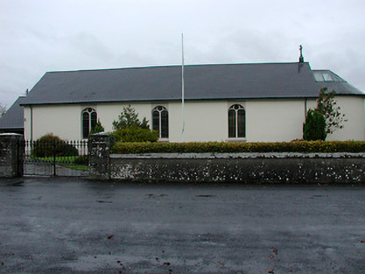 Catholic Church of the Immaculate Conceptionchurch/chapel · 1017 yd
 Font (present location) in GainestownFont (present location) · 1031 yd
 Boardstown Castle (in Ruins)Castle, tower house · 1.7 mi
 The Chimera GalleryGallery · 2.9 mi
 Famine MemorialMemorial · 2.9 mi
 United Nations War MemorialMemorial · 3.9 mi
 Ash IslandIslet · 4.4 mi
 Dysart IslandIsland · 4.4 mi
 Saint Brigid's WellSpring · 4.6 mi