What is recorded here
Fairy fort / earthen ringfort in Catherinestown is a fairy fort or earthen ringfort in Catherinestown, County Westmeath, Ireland. The 1971 survey described it as a subcircular area measuring 39.5 metres north-south and 36 metres east-west, enclosed by a high bank and an external fosse. The bank is best preserved from northeast through east-northeast to east, while the wide and deep fosse is most evident from northeast through east to south. A narrow causeway crosses the fosse at west-northwest, and the interior features a slight slope with subtle undulations and a prominent hump in the southeast quadrant.
Situated on a slight rise in gently undulating pasture. Monument described in 1971 as a subcircular-shaped area (dims. 39.5m N-S; 36m E-W) enclosed by a bank and external fosse. The bank is high and steep and is best preserved from NE-ENE-E and is mostly reduced to a scarp elsewhere. Large portions of the bank and scarp have been removed at NE, E and S. The fosse is wide and deep and is best preserved from NE-E-S, being much narrower and almost completely infilled elsewhere. The original entrance is not recognisable. There is a very narrow causeway extending diagonally across the fosse at WNW and there is a slight disturbance gap in the bank at this point which may be the source of the material. The interior has a slight NNW-facing slope with several subtle humps and hollows, possibly due to relatively modern disturbance. A large, irregular yet prominent hump in the SE quadrant could be a natural feature. There is a very slight short bank (L 5m; Wth 1.1m; H 0.25m) running ESE-WNW from the SW end of the hump, which is of unknown significance.
See attached profile of monument surveyed and drawn by the ASI.
Compiled by Alison McQueen, Vera Rahilly and Caimin O’Brien.
Date of upload: 02 October 2019
The monument record does not grant public access. Check the route and ask the landowner before entering private land.
- What survives
- Recorded monument
Places near here
 Hut site in CatherinestownHut site · 520 yd
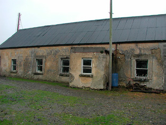 farm housefarm house · 547 yd
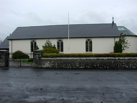 Catholic Church of the Immaculate Conceptionchurch/chapel · 636 yd
 Font (present location) in GainestownFont (present location) · 646 yd
 CastleCastle, tower house · 931 yd
 Boardstown Castle (in Ruins)Castle, tower house · 1.6 mi
 Famine MemorialMemorial · 2.7 mi
 United Nations War MemorialMemorial · 3.7 mi
 Ash IslandIslet · 4.1 mi
 Dysart IslandIsland · 4.1 mi
 Saint Brigid's WellSpring · 4.4 mi
 Lady's IslandWood · 5.4 mi