What is recorded here
Cathair Daithi holds a faded stone circle where human hands first shaped the ridge. The wall crumbles north into the steep slope, suggesting an older earthen bank beneath the rocks. Pasture grass swallows the rest, but the level interior still resists the mountain's pull. Daithi may have raged against this small enclosure, or the enclosure may have waited patiently for Daithi to forget himself.
In pasture, on N-facing slope of E-W ridge. Roughly circular area (25.7m E-W; 21.7m N-S) defined by low grass-covered rise (max. int. H 0.6m) E->SSE; stone wall elsewhere. Wall heavily overgrown; no trace of original bank visible under wall except to N where collapse of stones on steep slope outside wall may originate from earlier bank. Interior level.
The above description is derived from the published 'Archaeological Inventory of County Cork. Volume 3: Mid Cork' (Dublin: Stationery Office, 1997). In certain instances the entries have been revised and updated in the light of recent research.
Date of upload/revision: 14 January 2009
The monument record does not grant public access. Check the route and ask the landowner before entering private land.
- What survives
- Recorded monument
Places near here
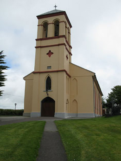 Séipéal Naomh Lachtáin [Saint Lachtáin's Catholic Church]church/chapel · 941 yd
 IndicatedHouse, indeterminate date · 1383 yd
 Fulacht fia in Ceann DromaFulacht fia · 1.0 mi
 Burial ground in Baile An BhuaidhBurial ground · 1.1 mi
 Port Ban Nature Reserve, Irish Wildlife TrustNature reserve · 2.4 mi
 Carrigaphooca CastleCastle · 2.5 mi
 Dundareirke Castle (in Ruins)Castle, tower house · 3.1 mi
 Curraheen WoodWood · 3.1 mi
 European long distance path E8 - part IrelandWalking route · 3.5 mi
 Cnoc na nUlán (mullach thoir)Mountain / peak · 4.2 mi
 KnockullaneMountain / peak · 4.4 mi
 Sli Gaeltacht MuscraiWalking route · 6.0 mi