What is recorded here
Caherdeaha is a circular earthen ringfort atop an east-west ridge in County Cork, commanding both the Sullane and Toon river valleys. Murphy recorded the name in 1898, but conifers now choke the interior and a bungalow abuts the eastern bank. The sharp northern drop exposes the fort to the roadway, suggesting visibility mattered more than privacy when people first shaped the ridge.
In pasture, atop E-W ridge, overlooking Sullane River valley to N and Toon River valley to S. Circular raised area (c. 32m E-W) enclosed by earth and stone bank (int. H 0.3m; ext. H 1.5m). Stone field boundary atop bank S->W; ground outside bank to N falls sharply down to roadway; bungalow immediately to E of enclosure. Interior heavily planted with coniferous trees. Murphy (1898, 12) names fort as 'Caherdeaha'. Ringfort (CO070-056----) liesc. 30m to SW; standing stone (CO070-057002-) once stood outside bank to NE; second standing stone (CO070-058----) c. 60m to E.
The above description is derived from the published 'Archaeological Inventory of County Cork. Volume 3: Mid Cork' (Dublin: Stationery Office, 1997). In certain instances the entries have been revised and updated in the light of recent research.
Date of upload/revision: 14 January 2009
The monument record does not grant public access. Check the route and ask the landowner before entering private land.
- What survives
- Recorded monument
Places near here
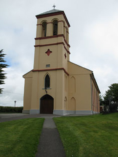 Séipéal Naomh Lachtáin [Saint Lachtáin's Catholic Church]church/chapel · 482 yd
 IndicatedHouse, indeterminate date · 1158 yd
 Burial ground in Baile An BhuaidhBurial ground · 1259 yd
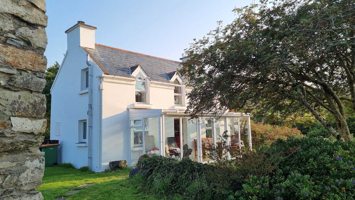 TobernabienHoly well · 1332 yd
 Port Ban Nature Reserve, Irish Wildlife TrustNature reserve · 2.0 mi
 Carrigaphooca CastleCastle · 2.5 mi
 Dundareirke Castle (in Ruins)Castle, tower house · 3.0 mi
 Curraheen WoodWood · 3.1 mi
 European long distance path E8 - part IrelandWalking route · 3.5 mi
 Cnoc na nUlán (mullach thoir)Mountain / peak · 4.6 mi
 KnockullaneMountain / peak · 4.8 mi
 Sli Gaeltacht MuscraiWalking route · 5.9 mi