What is recorded here
Cathair Daithi holds a circular earthen fort thirty metres across, its broken bank and shallow fosse now choked with coniferous trees on a ridge above the Sullane River. People called it a fairy fort, perhaps because the green chaos hid the human shape or because the dead still move where living memory has thinned. The conifers do not understand borders; they swallow the distinction between human and fairy, leaving only a ridge of shadow where a house or hollow once stood.
In pasture, atop E-W ridge overlooking Sullane River valley to N. Circular area (c. 30m N-S) defined by earthen bank (H 1.6m) with external fosse (D 0.65m) S->N. Bank highest internally on E side; break (Wth 2m) to N. Field boundary skirts fosse S->NNW. Interior, bank and surviving fosse planted with coniferous trees. Ringfort (CO070-057001-) lies 30m to NE.
The above description is derived from the published 'Archaeological Inventory of County Cork. Volume 3: Mid Cork' (Dublin: Stationery Office, 1997). In certain instances the entries have been revised and updated in the light of recent research.
Date of upload/revision: 14 January 2009
The monument record does not grant public access. Check the route and ask the landowner before entering private land.
- What survives
- Recorded monument
Places near here
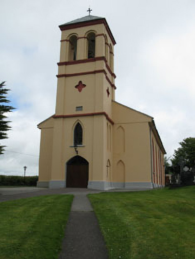 Séipéal Naomh Lachtáin [Saint Lachtáin's Catholic Church]church/chapel · 545 yd
 IndicatedHouse, indeterminate date · 1227 yd
 Burial ground in Baile An BhuaidhBurial ground · 1250 yd
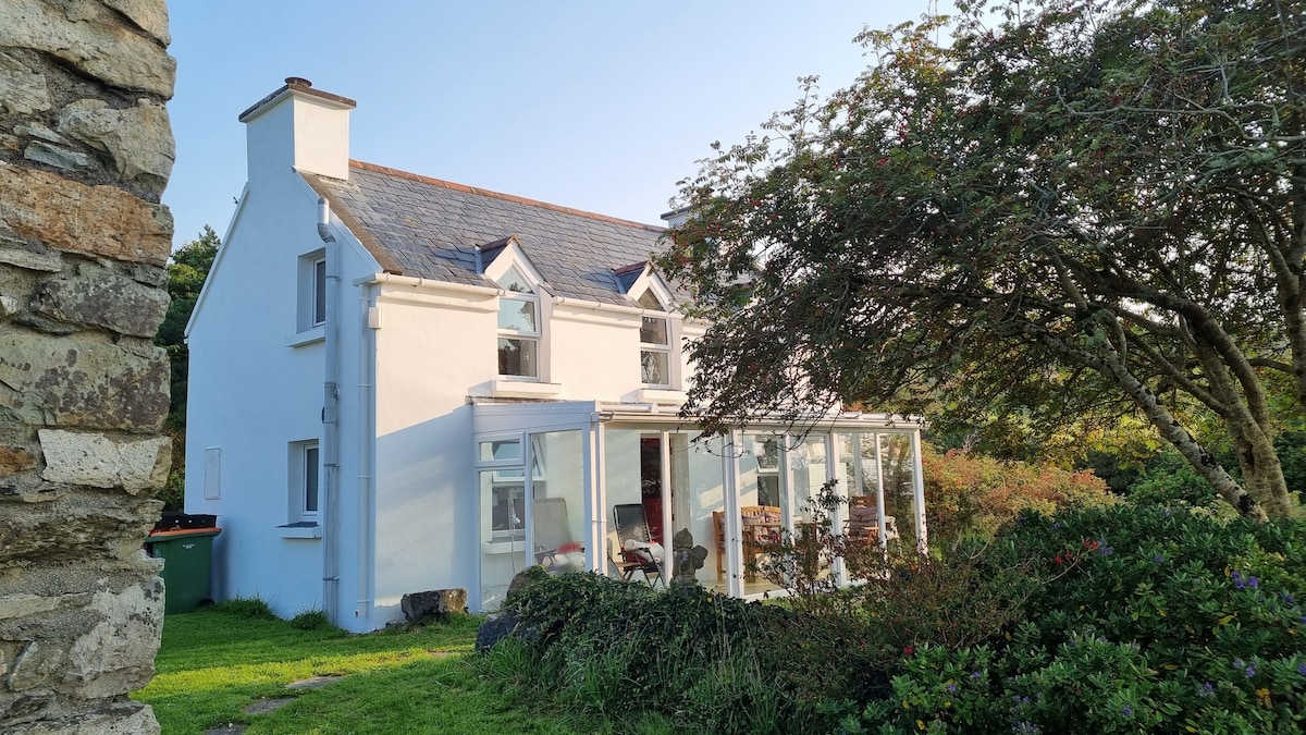 TobernabienHoly well · 1322 yd
 Port Ban Nature Reserve, Irish Wildlife TrustNature reserve · 2.0 mi
 Carrigaphooca CastleCastle · 2.6 mi
 Dundareirke Castle (in Ruins)Castle, tower house · 3.0 mi
 Curraheen WoodWood · 3.1 mi
 European long distance path E8 - part IrelandWalking route · 3.5 mi
 Cnoc na nUlán (mullach thoir)Mountain / peak · 4.6 mi
 KnockullaneMountain / peak · 4.8 mi
 Sli Gaeltacht MuscraiWalking route · 5.9 mi