What is recorded here
On a low rise of ground in undulating countryside with good views to the N. Monument depicted on the 1818 Boyd Belvedere Map of Castlelost West townland (WCL/M/BBE/23). Roughly circular-shaped area (diam. 44m N-S; 33m E-W) defined by an earth and stone bank best preserved from SE-S-W-N-NNE with external fosse only visible from S-W-N. No entrance feature visible. The enclosing bank and fosse are best preserved at S while both have been removed from NE-E-SE. This section of the enclosing element of the ringfort is located in tillage as visible on the 2005 OSI aerial photographs. The remainder of the monument is upstanding and is located in pasture.
Compiled by: Caimin O’Brien
Date of upload: 31 July 2013
The monument record does not grant public access. Check the route and ask the landowner before entering private land.
- What survives
- Recorded monument
Places near here
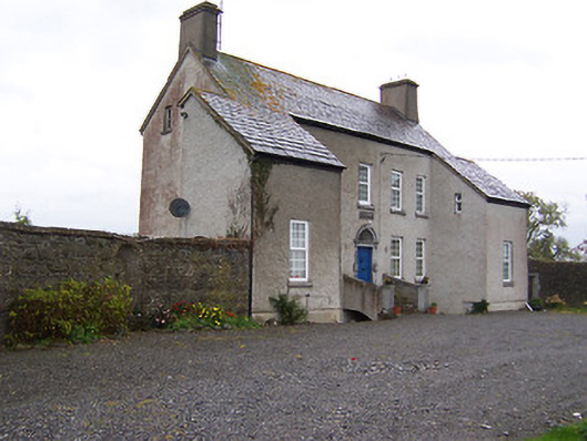 West Househouse · 323 yd
 Enclosure in Castlelost WestEnclosure · 507 yd
 Castlelost MoatCastle, motte and bailey · 728 yd
 CastleCastle, unclassified · 777 yd
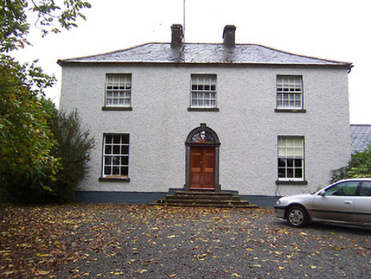 Far View Househouse · 847 yd
 Ecclesiastical enclosure in CastlelostEcclesiastical enclosure · 873 yd
 Derrygreenagh HillMountain / peak · 3.8 mi
 Mollie Moo's Pet FarmHeritage attraction · 3.8 mi
 Belvedere house and gardensVisitor information · 4.2 mi
 Blind IslandIslet · 4.2 mi
 Dysart IslandIsland · 4.7 mi
 Knockdrin HillMountain / peak · 4.8 mi