What is recorded here
Fairy fort / earthen ringfort in Castleleiny is a fairy fort or earthen ringfort in Castleleiny, County Tipperary, Ireland. It occupies an east-west ridge in undulating countryside with extensive views. The circular slightly raised area measures 29 metres east to west. A scarp defines the edge while a partial possible inner fosse and outer bank enclose the base.
Situated on an E-W ridge in undulating countryside with extensive views. A circular slightly raised area (diam. 29m E-W) defined by a scarp and enclosed by a partial possible inner fosse (Wth 2-5m: D 0.5m) and outer bank (Wth 3m; ext. H 0.8m) with possible causewayed entrance gap (Wth 3m) at SE (Stout 1984, 22-3). This is a ringfort which utilises a natural low hillock which has been scarped and enclosed at its base resulting in an elevated interior. There is some evidence of quarrying at E. The site was classified as a ring-barrow in the Archaeological Survey of Ikerrin (Stout 1984, 22-3).
The above description is derived from 'The Archaeological Inventory of County Tipperary. Vol. 1 - North Tipperary' compiled by Jean Farrelly and Caimin O'Brien (Dublin: Stationery Office, 2002). In certain instances the entries have been revised and updated in the light of recent research.
Date of upload/revision: 22 September 2008
The monument record does not grant public access. Check the route and ask the landowner before entering private land.
- What survives
- Recorded monument
Places near here
 Castle (in Ruins)Bawn · 472 yd
 Templeree Church (in Ruins)Church · 821 yd
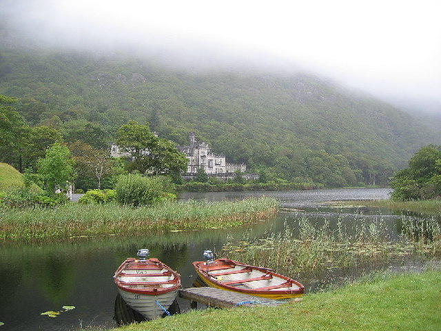 Enclosure in KylemoreEnclosure · 1065 yd
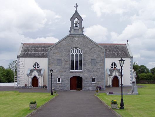 Catholic Church of Saint John the Baptistchurch/chapel · 1303 yd
 Fairy fort / earthen ringfort in KylemoreFairy fort / earthen ringfort · 1467 yd
 CastleBawn · 1.5 mi
 Tullow HillMountain / peak · 2.9 mi
 Morris's GroveForest · 3.3 mi
 College HillMountain / peak · 3.4 mi
 Clonmeen WoodWood · 4.2 mi
 Cormackstown Heritage CentreMuseum · 9.9 mi
 Enclosure in CobbsEnclosure · 1719 yd