What is recorded here
Fairy fort / earthen ringfort in Cashel South is a fairy fort or earthen ringfort in Cashel South, County Sligo, Ireland. The D-shaped earthwork sits on a gentle south-facing slope in pasture, enclosed by two fosses and an intervening earthen bank. Local tradition says the rath served as a burial ground, while both the 1838 and 1941 Ordnance Survey maps show it as an embanked area whose west and north edges later joined straight field boundaries.
In pasture, on a gentle S-facing slope. A raised D-shaped area (38.5m N-S; 30.6m E-W) with straight W side, enclosed by two fosses and an intervening earthen bank (Wth 4.8m; int. H c. 1m; ext. H 1.4m). The inner fosse (Wth 4.8m; D 0.7m from interior) is boggy. The outer fosse (Wth 6m; D 0.4m) is evident N-SE and a wide band of rushes may indicate its continuation S-SW. There is a linear right-angled field boundary on the line of the outer fosse on the W and N sides. The interior is bisected by a N-S field boundary flanked by a modern drain. The rath is partially covered with overgrowth. It is indicated on the 1838 OS 6-inch map as an oval embanked area and similarly on the 1941-2 OS 6-inch map but with the W and N sides straightened where they are incorporated into field boundaries. According to local tradition, the rath was used as a burial ground (SL037-093001-).
The above description is derived from the published 'Archaeological Inventory of County Sligo' compiled by Ursula Egan, Elizabeth Byrne, Mary Sleeman with Sheila Ronan and Connie Murphy (Dublin Stationery Office, 2005).
Date of upload: 18 January 2008
The monument record does not grant public access. Check the route and ask the landowner before entering private land.
- What survives
- Recorded monument
Places near here
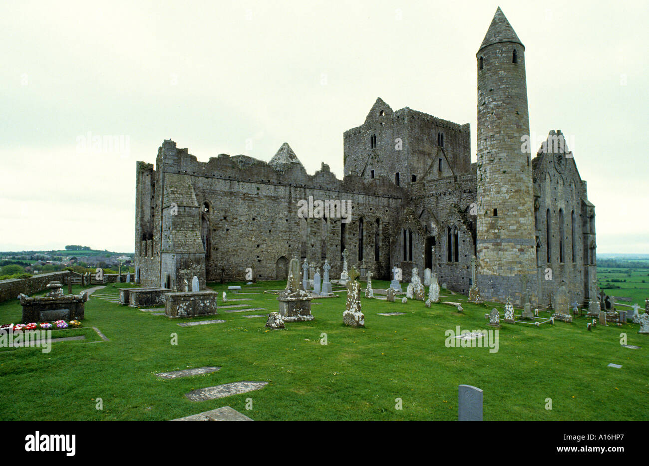 Indicated (1838).Fairy fort / earthen ringfort · 581 yd
 Fulacht fia in BallincurryFulacht fia · 1.0 mi
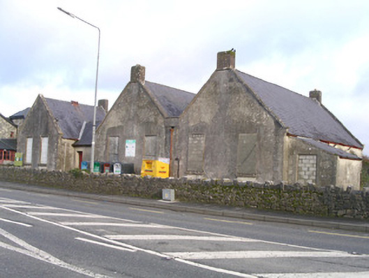 Curry National Schoolschool · 1.8 mi
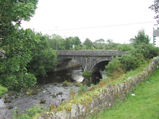 bridgebridge · 1.9 mi
 Ballyara Castle (in Ruins)Castle, unclassified · 2.0 mi
 Castle (Site of)Castle, unclassified · 2.8 mi
 Old Cave Burial GroundArchaeological place · 3.5 mi
 Muckelty HillMountain / peak · 4.4 mi
 Tawnyart WoodWood · 5.6 mi
 New WoodWood · 5.9 mi
 Lough Talt TrailVisitor information · 8.2 mi
 Bockagh HillMountain / peak · 8.3 mi