What is recorded here
Fairy fort / earthen ringfort in Carrowwilkin is a fairy fort or earthen ringfort in Carrowwilkin, County Sligo, Ireland. The D-shaped earthwork measures 34 metres east-west and has a straight 32.5-metre western side. Its eroded bank is two metres wide, rises 0.3 metres outside and 0.1 metre inside, and follows a gentle south-facing pasture slope. The southern interior is slightly raised while the northern part is cut into the upslope, leaving a shallow decline toward the south.
In pasture, on a gentle S-facing slope. A slightly raised D-shaped area (dims. 34m E-W), defined by an eroded earthen bank (Wth 2m; int. H 0.1m; ext. H 0.3m), with a straight W side (L 32.5m N-S). The S portion of the interior is raised slightly and the N portion is cut into the upslope to compensate for the hillslope, though the interior still retains a slight slope down to the S. The rath is indicated as an embanked circular area, incorporated into a field boundary S-NNW, on the 1838 OS 6-inch map and as a roughly D-shaped area on the 1914 OS 6-inch map with the linear W side indicated as part of a field boundary.
The above description is derived from the published 'Archaeological Inventory of County Sligo' compiled by Ursula Egan, Elizabeth Byrne, Mary Sleeman with Sheila Ronan and Connie Murphy (Dublin Stationery Office, 2005).
Date of upload: 18 January 2008
The monument record does not grant public access. Check the route and ask the landowner before entering private land.
- What survives
- Recorded monument
Places near here
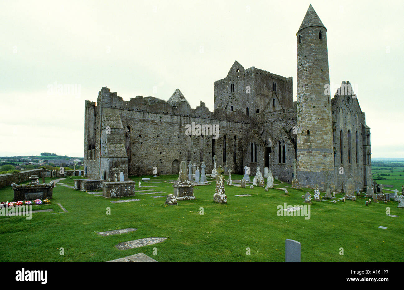 Indicated (1838).Fairy fort / earthen ringfort · 1000 yd
 Fulacht fia in BallincurryFulacht fia · 1749 yd
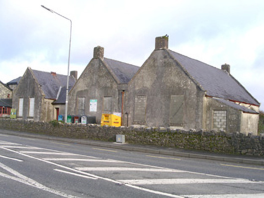 Curry National Schoolschool · 1.1 mi
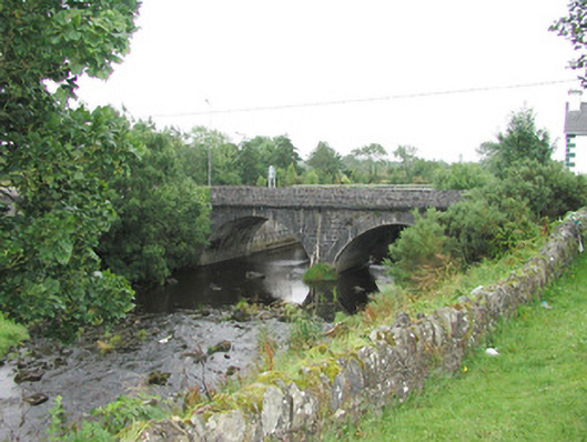 bridgebridge · 1.2 mi
 Ballyara Castle (in Ruins)Castle, unclassified · 2.4 mi
 Castle (Site of)Castle, unclassified · 2.7 mi
 Old Cave Burial GroundArchaeological place · 3.7 mi
 Muckelty HillMountain / peak · 5.2 mi
 Lough Talt TrailVisitor information · 7.9 mi
 Bockagh HillMountain / peak · 8.5 mi
 Procession Of The SoulsMemorial · 8.9 mi
 Brabazon WoodsForest · 9.1 mi