What is recorded here
Ancestral hands built the ring in Galway, but time and fields strangled the shape. The underground passage still waits inside the grass, hiding the purpose of the fort.
On a hillock in gently undulating grassland. A very poorly preserved subcircular rath (N-S 32m) defined by a denuded bank from NW through N to NE, and by a scarp from SE through S to SW. Field walls overlie the enclosing element at E and W. There is a probable Man-made underground passage (GA041-018001-) in the interior.
The above description is derived from the published 'Archaeological Inventory of County Galway Vol. II - North Galway'. Compiled by Olive Alcock, Kathy de hÓra and Paul Gosling (Dublin: Stationery Office, 1999).
Date of upload: 05 August 2010
The monument record does not grant public access. Check the route and ask the landowner before entering private land.
- What survives
- Recorded monument
Places near here
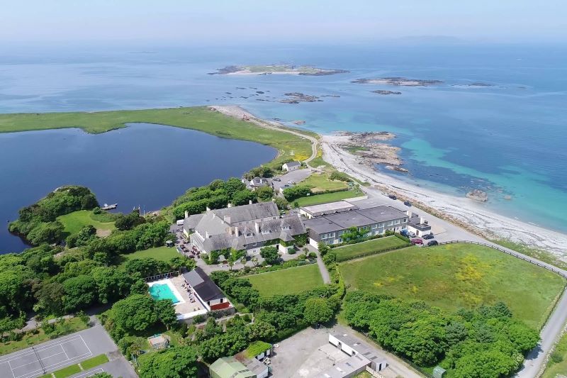 UainmoreMan-made underground passage · 12 yd
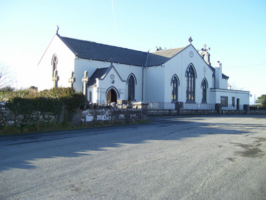 Saint Mary's Catholic Churchchurch/chapel · 399 yd
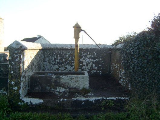 water pumpwater pump · 1003 yd
.jpg?width=1280) Court tomb in CarrownakibCourt tomb · 1082 yd
Court tomb in CarrownakibCourt tomb · 1082 yd BallynacreggaWood · 1.1 mi
 Annaghkeen CastleCastle · 1.4 mi
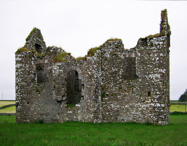 Annaghkeen Castle (in Ruins)Castle, Anglo-Norman masonry castle · 1.4 mi
 Ross Errilly FriaryHeritage attraction · 2.2 mi
 Rabbit IslandIslet · 2.3 mi
 Freeheen IslandIslet · 2.4 mi
 Brigit's GardenHeritage attraction · 5.2 mi
 Ballinduff BayBay · 5.5 mi