What is recorded here
Half a kilometre west of Carrownagarry, three ringworks and an enclosure dot the grassland like forgotten coins. The main fort keeps a thirty-three metre circle on a north-facing slope, its bank swallowed by vegetation and its ditch visible only from east to south. A gap at the east-north-east may mark the entrance where people once entered, perhaps to tend animals, store grain, or simply belong somewhere the land remembered.
On N-facing slope of a hillock in grassland. Poorly preserved circular rath (D 33.5m) defined by an overgrown bank and external fosse. The latter is present from E to S. A gap at ENE could be original. An enclosure (GA029-077----) lies c. 250m to W, and two ringforts (GA029-078---- and GA029-079----) c. 300m to WSW.
The above description is derived from the published 'Archaeological Inventory of County Galway Vol. II - North Galway'. Compiled by Olive Alcock, Kathy de hÓra and Paul Gosling (Dublin: Stationery Office, 1999).
Date of upload: 05 August 2010
The monument record does not grant public access. Check the route and ask the landowner before entering private land.
- What survives
- Recorded monument
Places near here
 Enclosure in GardenfieldEnclosure · 267 yd
 Cross in CarrownagarryCross · 726 yd
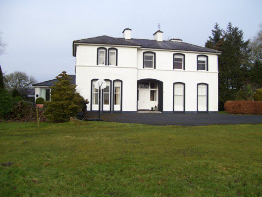 Gardenfield Househouse · 901 yd
 water pumpwater pump · 1060 yd
 European ashEuropean ash · 1.1 mi
 Fartamore Castle in ruinsCastle, tower house · 2.7 mi
 Fartamore Castle (ruins)Castle · 2.7 mi
 Mass RockNamed rock · 3.0 mi
 KnockmaaWood · 6.1 mi
 Kilcoona Round TowerHeritage attraction · 9.9 mi
 Ballinduff BayBay · 12 mi
 LismoreArchaeological place · 742 yd