What is recorded here
Fairy fort / earthen ringfort in Carrownagarry stands in County Galway, Ireland. It is a ringfort - rath. In pastureland. The outline of a levelled subcircular enclosure (c. 35m NW-SE; c. 33m NE-SW) is visible on aerial imagery dating from 1995 (Geohive MapGenie Imagery). A later field wall cuts across it from NNW to ESE. Possibly a rath as a number survive in this locality, see GA029-041---- which lies c. 20m to the SW. Identified and reported by Jean-Charles Caillère. The following image has been uploaded: GA029-218----01.jpg Google Earth image (March 2022) Compiled by:
In pastureland. The outline of a levelled subcircular enclosure (c. 35m NW-SE; c. 33m NE-SW) is visible on aerial imagery dating from 1995 (Geohive MapGenie Imagery). A later field wall cuts across it from NNW to ESE. Possibly a rath as a number survive in this locality, see GA029-041---- which lies c. 20m to the SW. Identified and reported by Jean-Charles Caillère.
The following image has been uploaded: GA029-218----01.jpg Google Earth image (March 2022)
Compiled by: Olive Alcock
Date of upload: 22 July 2022
The monument record does not grant public access. Check the route and ask the landowner before entering private land.
- What survives
- Recorded monument
Places near here
 Enclosure in GardenfieldEnclosure · 305 yd
 Cross in CarrownagarryCross · 724 yd
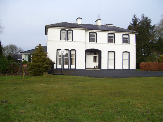 Gardenfield Househouse · 949 yd
 water pumpwater pump · 1045 yd
 European ashEuropean ash · 1.1 mi
 Fartamore Castle in ruinsCastle, tower house · 2.7 mi
 Fartamore Castle (ruins)Castle · 2.7 mi
 Mass RockNamed rock · 3.0 mi
 KnockmaaWood · 6.1 mi
 Kilcoona Round TowerHeritage attraction · 9.9 mi
 Ballinduff BayBay · 12 mi
 LismoreArchaeological place · 751 yd