What is recorded here
Carrowmore West holds a circular earthen ringfort twenty-six metres across, standing one hundred and fifty metres southeast of another fort. Two banks and a central ditch define its shape, while a narrow gap at the northwest may mark the original entrance. The structure remains in fair condition, preserving the boundary between human ambition and local legend.
Some 150m SE of a ringfort (GA099-049----). Circular rath (D 26m), in fair condition, defined by two banks and an intervening fosse. A C-shaped depression is visible on the outer face of the inner bank at SSE. Gap (Wth 2m) at NW may be original. Two large limestone blocks in NW section of the interior may be natural.
The above description is derived from the published 'Archaeological Inventory of County Galway Vol. II - North Galway'. Compiled by Olive Alcock, Kathy de hÓra and Paul Gosling (Dublin: Stationery Office, 1999).
Date of upload: 05 August 2010
The monument record does not grant public access. Check the route and ask the landowner before entering private land.
- What survives
- Recorded monument
Places near here
 Enclosure in Taylorstown,carrowmore WestEnclosure · 213 yd
 LisduffFairy fort / earthen ringfort · 531 yd
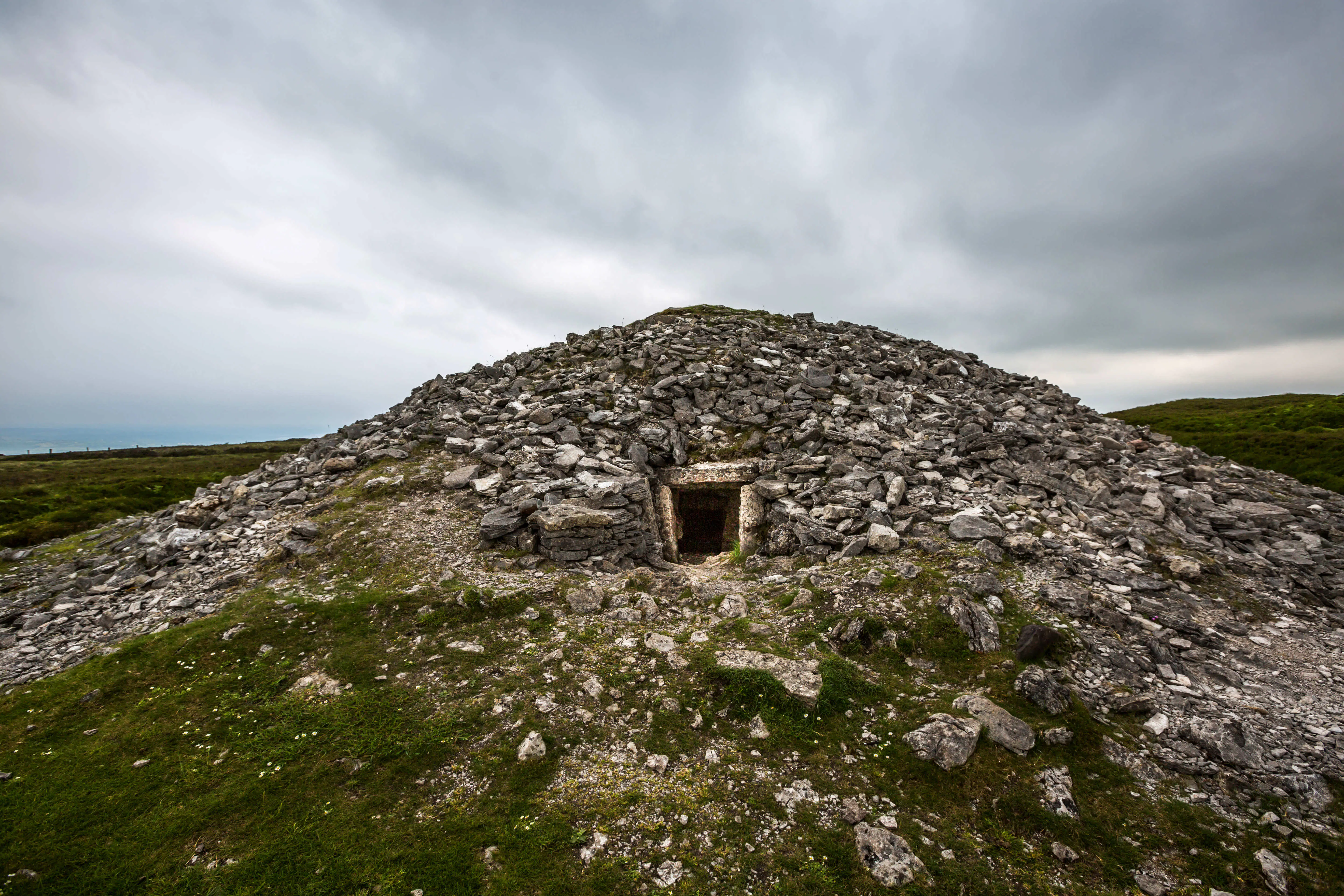 Quarry in Carrowkeel (clonmacnowen By.)Quarry · 1113 yd
 Ballagh Castle (in Ruins)Castle, unclassified · 1573 yd
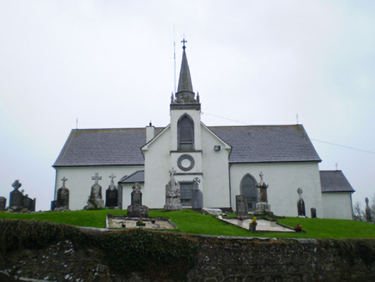 Saint Augustine's Catholic Churchchurch/chapel · 1.2 mi
 European BeechEuropean Beech · 1.3 mi
 European YewEuropean Yew · 1.5 mi
 Bawn in Cooltymurraghy (clonmacnowen By.)Bawn · 1.9 mi
 The bloody HollowHeritage attraction · 2.6 mi
 Urraghry HillMountain / peak · 2.6 mi
 Battle of AughrimMajor battlefield · 2.8 mi
 Battle of Aughrim Interpretative CentreMuseum · 3.4 mi