What is recorded here
Fairy fort / earthen ringfort in Carrowmore (ballintober North By.) is a fairy fort or earthen ringfort in Carrowmore (ballintober North By.), County Roscommon, Ireland. It occupies the crest of a southwest-facing drumlin slope as a circular grass-covered area about forty metres across. A low scarp rises from twenty centimetres at the north and south to eighty centimetres at the east, while faint traces of an outer fosse appear to the southwest. No entrance remains visible, and Rath lies one hundred metres to the southeast.
At the crest of the SW-facing slope of a drumlin. Described as a circular area defined by a slight bank and traces of an outer fosse (Gannon 1972). This is a circular grass-covered area (diam. c. 40m) defined by a scarp (H 0.2m at N and S to 0.8m at E), with traces of an outer fosse (Wth of top 3.5m; D 0.05-0.2m) S-W. There is no visible entrance. Rath (RO011-132----) is c. 100m to the SE.
Compiled by: Michael Moore
Date of upload: 24 August 2010
The monument record does not grant public access. Check the route and ask the landowner before entering private land.
- What survives
- Recorded monument
Places near here
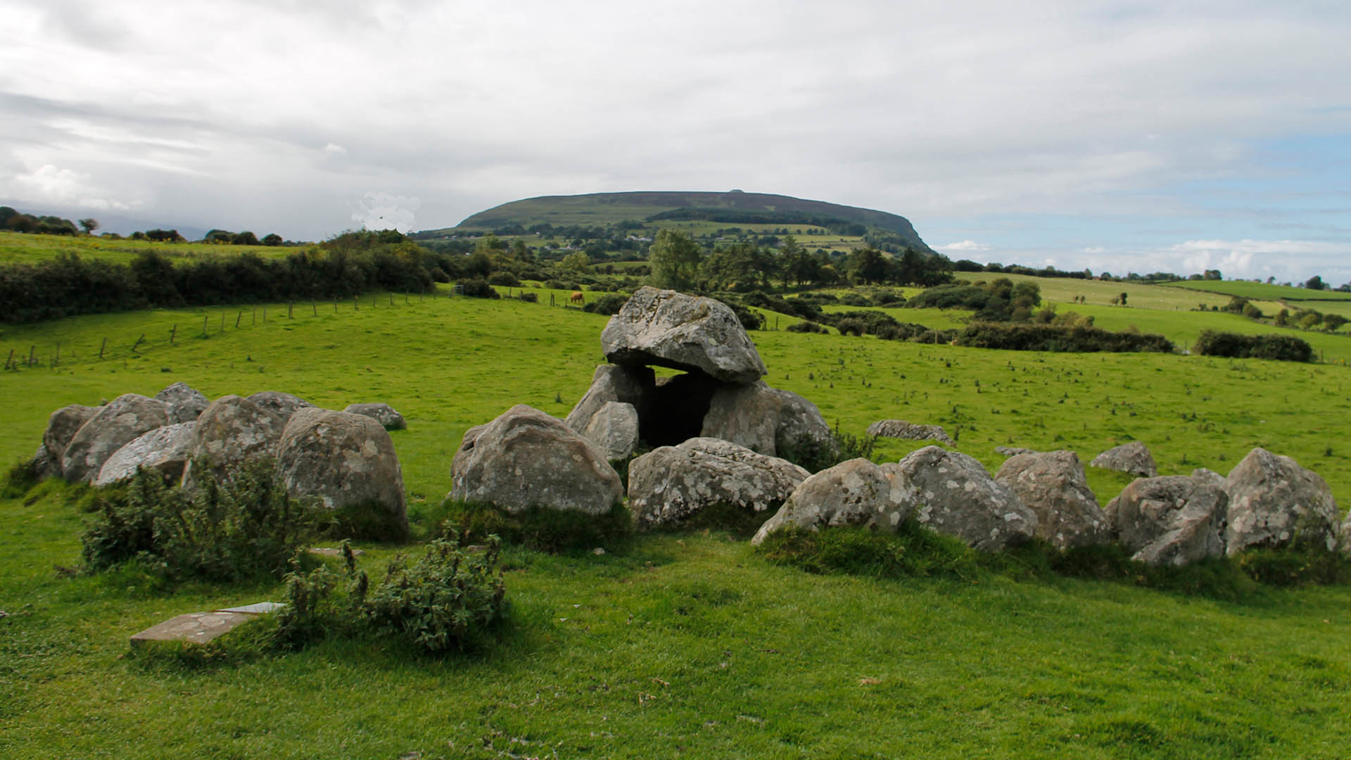 IndicatedFairy fort / earthen ringfort · 175 yd
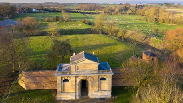 Embanked enclosureFairy fort / earthen ringfort · 397 yd
 Site of Dangan CastleCastle, unclassified · 1312 yd
 Kilbride Church (in Ruins)Church · 1491 yd
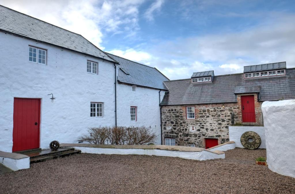 Old Corn KilnKiln, corn-drying · 1714 yd
 Mullinashee WoodForest · 2.2 mi
 Maguire's WoodForest · 2.4 mi
 Patrick Gill Memorial Plaque (IRA)Monument · 2.7 mi
 Robert Strawbridge MemorialMemorial · 2.8 mi
 Hat IslandIslet · 2.9 mi
 InishmoylinIslet · 3.0 mi
 Moon RiverHeritage attraction · 3.8 mi