What is recorded here
Fairy fort / earthen ringfort in Carrowkeel (tireragh By.),lismacbryan,lugbaun is a fairy fort or earthen ringfort in Carrowkeel (tireragh By.),lismacbryan,lugbaun, County Sligo, Ireland. The oval-shaped enclosure sits on a rise in undulating pasture where Carrowkeel, Lugbaun and Lismacbryan meet. A modern field boundary marks one edge, while a tumbled heap of stones defines the rest. No entrance or ditch remains visible.
Situated on a rise in undulating pasture. Depicted on the 1913 edition of the OS 6-inch map map as a oval-shaped enclosure at the meeting place of three townlands. From N-S-SSW is the boundary between Carrowkeel and Lugbaun. From SSW-W-N is the boundary between Carrowkeel and Lismacbryan. Remains comprise an oval-shaped subcircular area (dims. 25m NE-SW; 23.5m NW-SE) defined from ENE-S-SSW by a modern field boundary which marks the boundary between Carrowkeel and Lugbaun townlands. Elsewhere the defining element is a tumbled heap of stones (Wth. 3m) which probably represents the remains of a collapsed field wall rather than an original cashel wall. No fosse. Original entrance not recognisable.
Compiled by: Patrick F. O'Donovan
Date of upload: 19 January 2011
The monument record does not grant public access. Check the route and ask the landowner before entering private land.
- What survives
- Recorded monument
Places near here
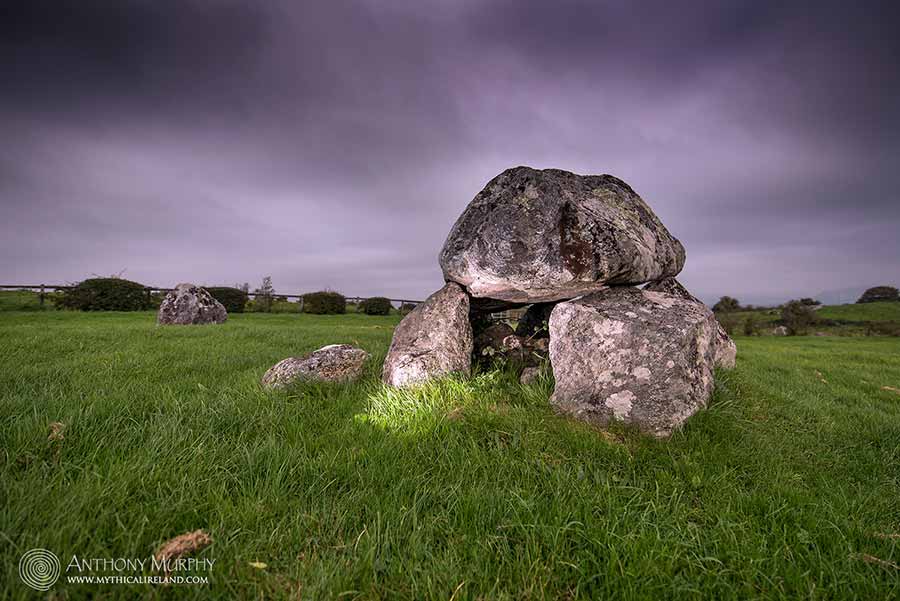 LisdooFairy fort / earthen ringfort · 450 yd
 Enclosure in LismacbryanEnclosure · 546 yd
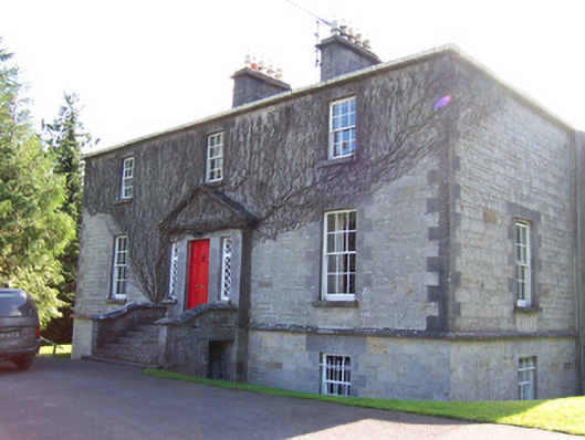 Toberfeckin Houserectory/glebe/vicarage/curate's house · 1001 yd
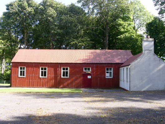 The Hallcommunity centre · 1084 yd
 European ashEuropean ash · 1.0 mi
 Bawn in Longford DemesneBawn · 1.3 mi
 Bawn in Tanrego WestBawn · 1.4 mi
 Pigeonpark WoodForest · 1.4 mi
 Giant's GraveArchaeological place · 1.4 mi
 Derinch PointHeadland · 1.9 mi
 Lahanacappul IslandIslet · 2.0 mi
 DoomoreMountain / peak · 2.0 mi