What is recorded here
Fairy fort / earthen ringfort in Carrowgilpatrick is a fairy fort or earthen ringfort in Carrowgilpatrick, County Sligo, Ireland. It occupies a north-south ridge in pasture and presents a raised oval area thirty-six metres long and twenty-four point six metres wide. A wide, low bank of earth and stone encloses the site, reaching sixty centimetres high at its strongest point. A shallow fosse runs along the foot of the bank from the northeast through the south to the south-southwest, while a field boundary overlays the western section.
Situated on top of a N-S ridge in pasture. Raised oval-shaped area (36m N-S; 24.6m E-W) enclosed by a wide, low bank of earth and and stone (Wth. 6m; H 0.45m; H 0.9m). It is best preserved at S and W but is very low internally with a broad external slope. Elsewhere the defining element is a scarp. At the foot of the bank and scarp from NE-S-SSW is a shallow fosse (Wth. 3m - 3.5m). From NW-NNW-N the outer bank is well preserved (Wth. 4m; H 0.65m). From N-S-SSW it is low and degraded. From SSW-W-NNW it is overlain by a field boundary. Original entrance not recognisable. Low, sod-covered, linear rises within the interior may mark internal divisions. Access to a Man-made underground passage (SL019-109001-) is located in the inner bank at W.
Compiled by: Patrick F. O'Donovan
Date of upload: 19 January 2011
The monument record does not grant public access. Check the route and ask the landowner before entering private land.
- What survives
- Recorded monument
Places near here
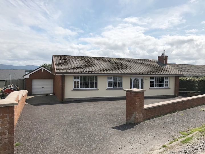 Hut site in BunnafediaHut site · 538 yd
 Giant's GraveArchaeological place · 718 yd
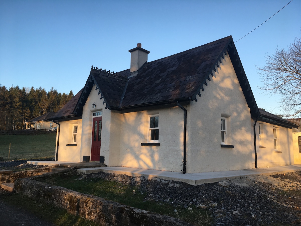 Enclosure in Bunnafedia,carrowconorEnclosure · 794 yd
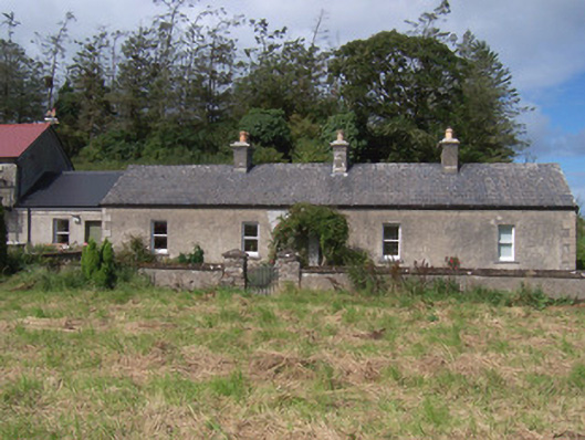 The Swallow Loftchurch/chapel · 1127 yd
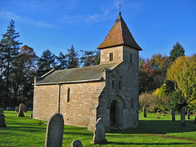 R. C. Chapel in ruinsChurch · 1161 yd
 Bawn in Longford DemesneBawn · 1655 yd
 European ashEuropean ash · 1.1 mi
 Pigeonpark WoodForest · 1.2 mi
 CastleCastle, ringwork · 1.3 mi
 Lahanacappul IslandIslet · 1.4 mi
 Ballinlig PointHeadland · 1.7 mi
 Portavaud PointHeadland · 1.8 mi