What is recorded here
Carrowcrin holds a broad earthen ring on a drumlin, its southeast gap no wider than a person walking upright. Rushes still mark the outer ditch while grass smothers the bank, suggesting humans shaped the hill before forgetting the name of the work. The fort may have guarded a household, a herdsman or a proud local line, yet it has survived without applause, waiting for someone to imagine the lives that turned its soil into a room.
Located on top of a drumlin. This is a grass and rush-covered circular area (int. diam. 26.7m E-W; 25.8m N-S) defined by a grass-covered earthen bank (Wth 3.7-6m; int. H 0.1m; ext. H 0.9-1.5m). An external fosse is indicated by a band of rushes (Wth of base 3-4m) NW-N-SE, and the monument is bordered by straight sections of field bank at S (E-W) and W (N-S). The entrance (Wth 1m) is at SE.
See the attached aerial view taken from the N.
The above description is derived from 'The Archaeological Inventory of County Leitrim' compiled by Michael J. Moore (Dublin: Stationery Office, 2003). In certain instances the entries have been revised and updated in the light of recent research.
Date of upload: 23 September 2008
The monument record does not grant public access. Check the route and ask the landowner before entering private land.
- What survives
- Recorded monument
Places near here
 Fairy fort / stone ringfort in CleighranFairy fort / stone ringfort · 1046 yd
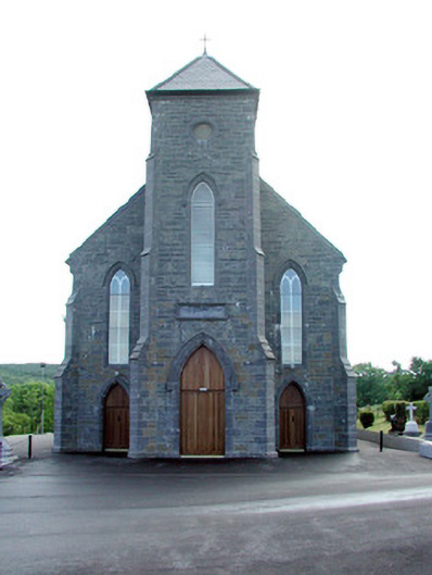 Saint Mary's Catholic Churchchurch/chapel · 1085 yd
 Embanked enclosureFairy fort / earthen ringfort · 1.3 mi
 St. Michaels ChurchChurch · 1.3 mi
 CastleCastle, unclassified · 2.0 mi
 MoteCastle, motte · 2.1 mi
 Cullentra ForestForest · 3.6 mi
 SlishwoodWood · 3.8 mi
 Trawane BayBay · 4.0 mi
 Giants GraveArchaeological place · 4.0 mi
 InnisfreeIslet · 4.0 mi
 Green IslandIslet · 4.3 mi