What is recorded here
Carrigoon More hides a circular ringfort beneath tillage on a north-facing slope. A July 1975 aerial photograph captured the faint bank and fosse, while old field fences traced the western and northern curve before ploughing erased the rest. The site resists easy viewing, demanding imagination to complete its shape.
In tillage, on N-facing slope. Cropmark, visible in aerial photograph (GSIAP, W413, July 1975) shows bank and fosse of circular enclosure of ringfort dimensions. Arc of field fence, shown on 1842, 1905 and 1935 OS 6-inch maps, respects enclosure W->N; fence upstanding in aerial photograph. Field fence now levelled and partly noted as soil mark; no visible surface trace of remainder of enclosure.
The above description is derived from the published 'Archaeological Inventory of County Cork. Volume 4: North Cork' (Dublin: Stationery Office, 2000). In certain instances the entries have been revised and updated in the light of recent research.
Date of upload/revision: 14 January 2009
A fairy fort or earthen ringfort in Carrigoon More, likely an early-medieval agricultural or defensive enclosure, is visible as a cropmark in aerial photographs and was partially marked by a field fence in 19th- and 20th-century maps. Local tradition may associate it with fairy lore, as suggested by its name, though specific folklore is not recorded.
The monument record does not grant public access. Check the route and ask the landowner before entering private land.
- What survives
- Recorded monument
Places near here
 Fulacht fia in CarrigoonFulacht fia · 924 yd
 Fulacht fia in Castlelands (fermoy By.)Fulacht fia · 1189 yd
 Lover' LeapCliff · 1287 yd
 Lover's LeapCliff · 1313 yd
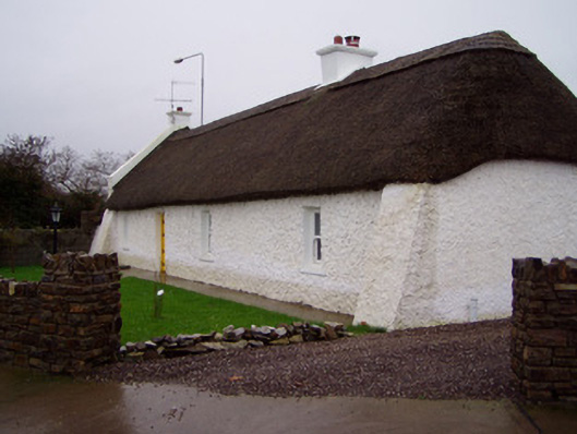 The Cottagehouse · 1333 yd
 Ballyviniter BridgeRailway bridge · 1426 yd
 Mallow Town Park - Maple WoodsForest · 1596 yd
 Mallow Castle HouseCastle · 1.1 mi
 Mallow Castle (in Ruins)House, fortified house · 1.2 mi
 In loving memory of Elvis O'DonoghueMemorial · 1.8 mi
 Mallow River TrailVisitor information · 1.9 mi
 Blackwater WayWalking route · 2.4 mi