What is recorded here
Marianne and her mother walked to Carrigonirtane after dark because Marianne believed the fort was alive. They crossed the causeway, touched the stone-facing, and sat beside the rock outcrop until dawn. Marianne did not claim the fort had spoken, but she stopped wanting proof that night.
In rough grazing, broken by rock outcrop, atop natural rise. Roughly circular area (25m E-W; 23m N-S) enclosed by earthen bank (int. H 1.4m); external fosse (max. D 0.8m) survives NNE->SSE. Bank stone-faced internally in parts; entrance (Wth 2m) to SSE with causeway across fosse; gap to NNE. Rock outcrop bisects interior from E->W. Stone Row (6509) short distance to SE.
The above description is derived from the published 'Archaeological Inventory of County Cork. Volume 3: Mid Cork' (Dublin: Stationery Office, 1997). In certain instances the entries have been revised and updated in the light of recent research.
Date of upload/revision: 14 January 2009
The monument record does not grant public access. Check the route and ask the landowner before entering private land.
- What survives
- Recorded monument
Places near here
 Fulacht fia in CabraghFulacht fia · 130 yd
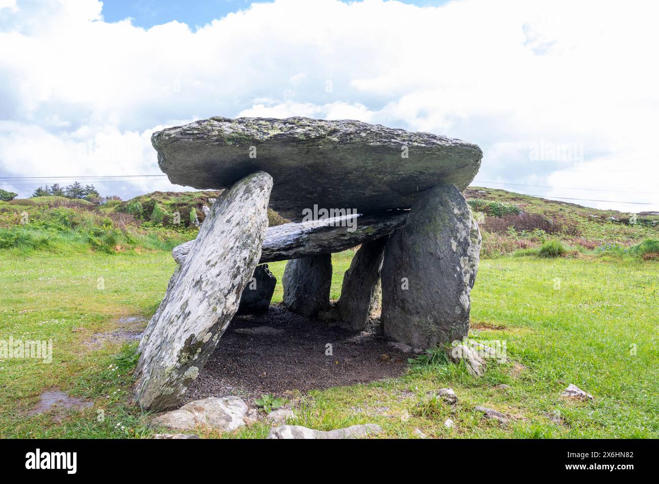 Wedge tomb in CarrigonirtaneWedge tomb · 295 yd
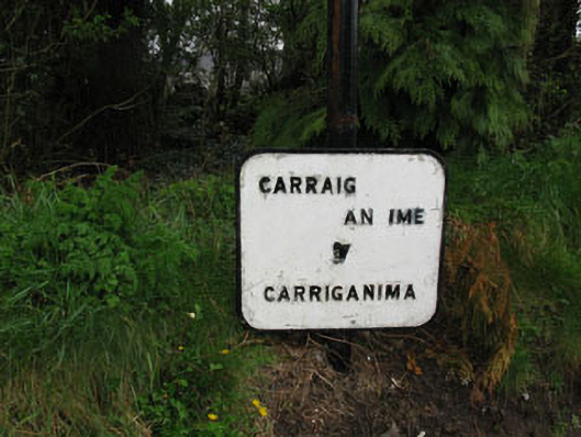 sign postsign post · 1.0 mi
 St John the Baptist Roman Catholic Churchchurch/chapel · 1.1 mi
 Cnoc na nUlán (mullach thoir)Mountain / peak · 2.2 mi
 Mullaghanish Far North-East TopMountain / peak · 3.0 mi
 Carrigaphooca CastleCastle · 4.1 mi
 Paddy Mulcahey 2009Memorial · 4.3 mi
 Neill's WoodWood · 4.3 mi
 Standing Stone ? At J WellMemorial · 4.4 mi
 Clonavrick CliffCliff · 4.6 mi
 Curraheen WoodWood · 4.7 mi