What is recorded here
Shown on 1842 OS 6-inch map as hachured semi-circular arc abutting NE-SW laneway (diam. c. 50m). Now a playing field; no visible surface trace. Associated with possible Man-made underground passage (CO052-056---).
The above description is derived from the published 'Archaeological Inventory of County Cork. Volume 2: East and South Cork' (Dublin: Stationery Office, 1994). In certain instances the entries have been revised and updated in the light of recent research.
Date of upload/revision: 14 January 2009
A local fairy fort (ringfort/rath); wider significance not recorded.
The monument record does not grant public access. Check the route and ask the landowner before entering private land.
- What survives
- Recorded monument
Places near here
 Man-made underground passage in CarrignavarMan-made underground passage · 1 yd
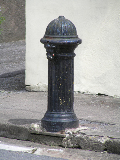 water pumpwater pump · 514 yd
 Church in CarrignavarChurch · 549 yd
 Castle (in Ruins)Castle, tower house · 844 yd
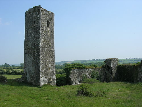 Man-made underground passage in GormleeMan-made underground passage · 1159 yd
 Castle (Site of)Castle, unclassified · 1.7 mi
 Old Cemetery KilcullyMemorial · 3.7 mi
 Graveyard in KilmonaGraveyard · 3.8 mi
 Murphy's RockViewpoint · 4.3 mi
 Clogheenmilcon Nature Reserve Killeens EndPicnic place · 4.8 mi
 Waterloo Loop WalkWalking route · 5.1 mi
:BlarneyCastle,KinsaleCorkCityShoreTour-KlookIndia.jpg) Clogheenmilcon SanctuaryNature reserve · 5.1 mi
Clogheenmilcon SanctuaryNature reserve · 5.1 mi