What is recorded here
No visible entrance or ditch remains in Carrigeencor, only a 19-metre earthen circle on a sunny slope. Local memory speaks of a hidden tunnel inside, suggesting the fort may have contained more than an ordinary dwelling. The boundary between human engineering and fairy legend becomes difficult to judge when a visible wall leads into an unseen passage.
Situated on a rise on a general SE-facing slope. Overgrown circular area (int. diam. 19m N-S) defined by an earthen bank (Wth 2.3m; int. H 0.3m; ext. H 0.45m at S to 1.15m at NW), with traces of internal stone-facing at NE. There is no visible fosse or identifiable original entrance, but there is local information about a tunnel, which might be a Man-made underground passage, in the interior.
The above description is derived from 'The Archaeological Inventory of County Leitrim' compiled by Michael J. Moore (Dublin: Stationery Office, 2003). In certain instances the entries have been revised and updated in the light of recent research.
Date of upload: 23 September 2008
The monument record does not grant public access. Check the route and ask the landowner before entering private land.
- What survives
- Recorded monument
Places near here
 Enclosure in KilcoosyEnclosure · 392 yd
 Green IslandIslet · 1104 yd
 Kilcoosey National Schoolschool · 1423 yd
 Enclosure in CornalaghtaEnclosure · 1.1 mi
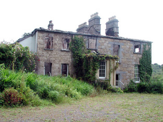 Drumlease Glebe Houserectory/glebe/vicarage/curate's house · 2.0 mi
 BenboMountain / peak · 2.4 mi
 Old HallCastle, hall-house · 2.6 mi
 Parke's CastleHeritage attraction · 2.9 mi
 CastleCastle, tower house · 2.9 mi
 Cullentra ForestForest · 3.3 mi
 Giants RockNamed rock · 3.7 mi
 Trawane BayBay · 3.8 mi