What is recorded here
Fairy fort in Carrigeen, County Cork: a 29-metre circular earthwork with a low bank and outer ditch, partly cut by a townland boundary. The centre rises above the perimeter, suggesting a lived or marked place rather than a random mound. People may have gathered, hidden, or worshipped there before ploughing softened its edges.
In ploughed field, on break in SW-facing slope. Circular, slightly raised area (29m N-S) defined by low bank (int. H 0.3m) NW->S, with external fosse to N and SSE. Townland boundary cuts off bank S->NW from remainder of enclosure; no visible surface trace of enclosure to W of boundary. Centre of interior higher than perimeter.
The above description is derived from the published 'Archaeological Inventory of County Cork. Volume 4: North Cork' (Dublin: Stationery Office, 2000). In certain instances the entries have been revised and updated in the light of recent research.
Date of upload/revision: 14 January 2009
The monument record does not grant public access. Check the route and ask the landowner before entering private land.
- What survives
- Recorded monument
Places near here
 Windmill HillMountain / peak · 586 yd
 Fulacht fia in Carrigeen (orrery and Kilmore By.)Fulacht fia · 710 yd
 Enclosure in Rath (orrery and Kilmore By.)Enclosure · 874 yd
 Market House Market Housemarket house · 1449 yd
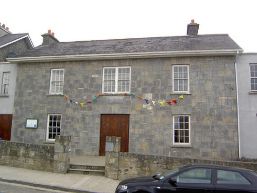 Community Centreschool · 1462 yd
 Castle (Site of)Castle, unclassified · 1.1 mi
 Ballyhoura WayWalking route · 1.6 mi
 Churchtown TrailsVisitor information · 2.0 mi
 CarrigadoonCastle, unclassified · 2.5 mi
 Battle of LiscarrollMajor battlefield · 2.6 mi
 Lady's WellSpring · 3.4 mi
 Buttevant Rail DisasterMemorial · 3.9 mi