What is recorded here
Carrigeen holds a broken earthen ring where a roadway cut through its eastern half, leaving a steep bank and shallow ditch to mark the western edge. The line crosses open pasture like a scar rather than a display, preserving enough shape to show that people built a boundary there before carts and wheels came through. What was kept inside has stopped being obvious, but the surviving curve still resists the claim that the place is empty.
In pasture, on W-facing slope. Depicted as hachured circular enclosure (diam. c. 22m) on 1842 OS 6-inch map, immediately to W of roadway extending N-S; E half levelled on 1905 and 1936 OS 6-inch maps. Earthen bank (int. H 1.7m; ext. H 1.75m) survives SSW->N, with external fosse (D 0.35m) to SW; levelled N->SSW, probably truncated by roadway. Short section of stone facing on inner face of bank to W; break in bank W->WNW; material dumped against bank to N may be from levelled section. Trackway, extends E-W through interior.
The above description is derived from the published 'Archaeological Inventory of County Cork. Volume 4: North Cork' (Dublin: Stationery Office, 2000). In certain instances the entries have been revised and updated in the light of recent research.
Date of upload/revision: 14 January 2009
The monument record does not grant public access. Check the route and ask the landowner before entering private land.
- What survives
- Recorded monument
Places near here
 Fulacht fia in Carrigeen (orrery and Kilmore By.)Fulacht fia · 495 yd
 Man-made underground passage in Carrigeen (orrery and Kilmore By.)Man-made underground passage · 523 yd
 Windmill HillMountain / peak · 825 yd
 Annagh Bridgebridge · 1605 yd
 Castle (Site of)Castle, unclassified · 1693 yd
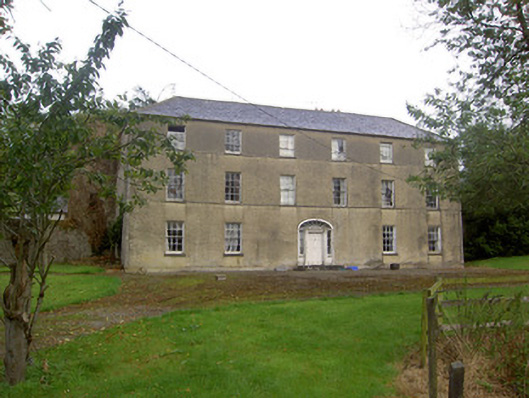 Churchtown Housecountry house · 1.2 mi
 Ballyhoura WayWalking route · 1.9 mi
 Churchtown TrailsVisitor information · 2.4 mi
 Liscarroll CastleCastle · 2.6 mi
 Battle of LiscarrollMajor battlefield · 2.6 mi
 Lady's WellSpring · 3.8 mi
 Buttevant Rail DisasterMemorial · 4.4 mi