What is recorded here
On the edge of a natural height overlooking a small river valley, in undulating grassland. The river flows into the River Suir c. 200m to the E. Monument identified on Bing Maps (aerial image). A circular area (diam. 20m N-S; 18m E-W) enclosed by a much reduced earthen bank (int. H 0.33m; ext. H 0.75m; Wth at crest 3.1m; overall 8m) in the S quadrant and elsewhere by a very gradual but distinctive scarp (int. H 0.12m; ext. H 0.4m; Wth 4.5m), an intervening fosse (Wth 3.5m) visible from SW-NE and an outer bank (int. H 0.45m; ext. H 0.3m; Wth at crest 3.5m; overall 8.8m) which is only evident in the NW-N sector. A post and wire fence runs N-S through the W edge of the monument. The outer slope of the inner bank on the S edge of the monument continues to fall externally with the natural fall of the ridge.
Compiled by: Jean Farrelly
Date of upload: 24 June 2014
The monument record does not grant public access. Check the route and ask the landowner before entering private land.
- What survives
- Recorded monument
Places near here
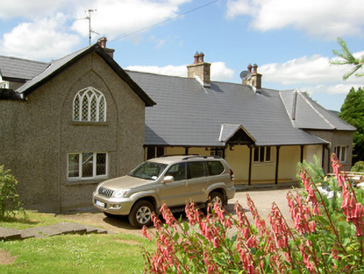 Waterloo Cottagehouse · 435 yd
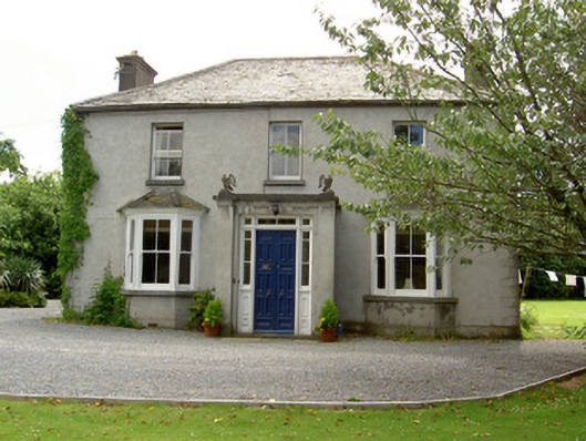 Mount Carmelhouse · 539 yd
 Pedunculate OakPedunculate Oak · 592 yd
 Enclosure in LissavaEnclosure · 775 yd
 Cahir CastleHeritage attraction · 916 ydSiege of Cahir Castlesiege · 1119 yd
 Site of CastleCastle, unclassified · 1284 yd
 European YewEuropean Yew · 1351 yd
 Ladys WellHoly well · 1446 yd
 Caher AbbeyHeritage attraction · 1489 yd
 Castle (in ruins)Castle, unclassified · 1.9 mi
 Slieveanard NE TopMountain / peak · 3.0 mi