What is recorded here
Fairy forts are earthen rings people stopped calling homes because they refused to explain themselves. This one in Carrigadrohid keeps a southern entrance and two eastern and western breaks, as if admitting more than one kind of visitor. It overlookes the River Lee and the village below, watching the living place while remaining empty of human proof.
In pasture, on SE-facing slope, overlooking River Lee and Carrigadrohid village to S. Roughly circular area (diam. 29.5m) enclosed by earthen bank (H 1m). Breaks in bank to E and W; entrance to S (Hartnett 1939, 90).
The above description is derived from the published 'Archaeological Inventory of County Cork. Volume 3: Mid Cork' (Dublin: Stationery Office, 1997). In certain instances the entries have been revised and updated in the light of recent research.
Date of upload/revision: 14 January 2009
The monument record does not grant public access. Check the route and ask the landowner before entering private land.
- What survives
- Recorded monument
Places near here
 Fulacht FiadhFulacht fia · 844 yd
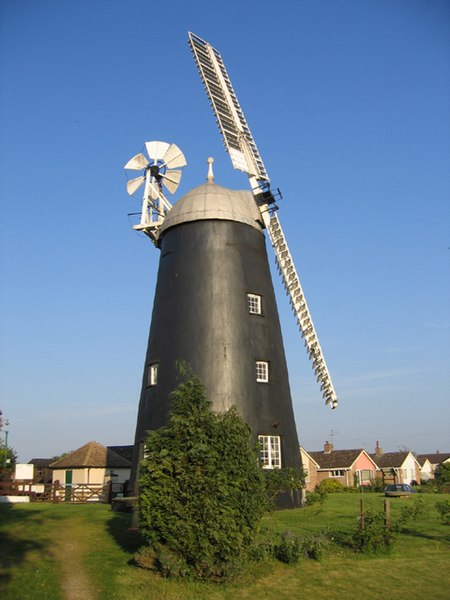 Steven's WoodWood · 1019 yd
 Carrigadrohid Castle InfoVisitor information · 1304 yd
 Church in CarrigadrohidChurch · 1327 yd
 Oakpark Housecountry house · 1361 yd
 Carrigadrohid CastleHeritage attraction · 1426 yd
 Carrigadrohid Castle (in Ruins)Castle, tower house · 1431 yd
 Burnt spread in CoolaltaBurnt spread · 1529 yd
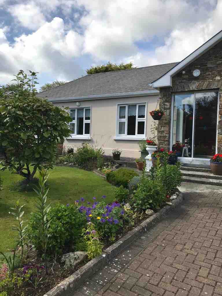 Leap WoodWood · 1715 yd
 Mullinhassig WaterfallWaterfall · 1.6 mi
 Mashanaglass Castle (in Ruins)Castle, tower house · 2.9 mi
 BurrenMountain / peak · 3.9 mi