What is recorded here
Half the ring is gone, swallowed by plough and boundary stone, but the eastern arc still stands: a low bank, a shallow ditch, a raised floor forty-seven metres across. The entrance has vanished, so no one knows which way the doors faced or who was barred outside. In County Cavan such forts were called fairy forts, which may mean they belonged to people now forgotten rather than creatures never born. The missing western half does not prove emptiness; it proves the land kept taking back what it could.
Raised circular area (int. diam. 47m) enclosed by a low earthen bank and a shallow fosse. From SE-S-SSW the perimeter has been incorporated into the field boundary. The W half of the site has been levelled, leaving only the outline of the perimeter discernible. Original entrance not recognisable.
The above description is derived from the published 'Archaeological Inventory of County Cavan' (Dublin: Stationery Office, 1995). In certain instances the entries have been revised and updated in the light of recent research.
Date of upload/revision: 22 December 2008
The monument record does not grant public access. Check the route and ask the landowner before entering private land.
- What survives
- Recorded monument
Places near here
 Tullyunshin South ForestForest · 1174 yd
 CarrickallenMountain / peak · 1.1 mi
 St. Michaels R. C. ChapelChurch · 1.2 mi
 Carrickallen ForestForest · 1.3 mi
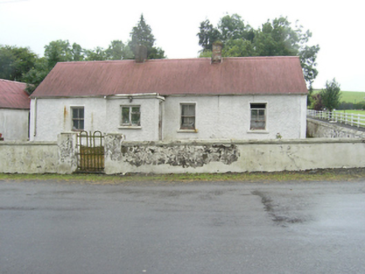 farm housefarm house · 1.3 mi
 CliffernaMountain / peak · 1.5 mi
 Fairy fort / stone ringfort in KillymeehanFairy fort / stone ringfort · 2.0 mi
 Giant's GraveArchaeological place · 2.3 mi
 Foundation Stone Blessed by Pope John Paul II 1979Memorial · 2.6 mi
 Enclosure in KilnagarbetEnclosure · 2.9 mi
 Raven's RockNamed rock · 3.9 mi
 Site of Old CastleCastle, unclassified · 5.3 mi