What is recorded here
No visible wall remains, but the land still marks the circle. A shallow scarp and changed soil colour outline the lost fort on the pasture slope, preserving the shape even after ploughing and footing erased the bank. The area may have stood as a boundary marker, a seasonal camp or a small defended home. It is no longer a fort in the ordinary sense, but the ground remembers the circle and the circle still shapes the place.
On a gentle WSW-facing slope in pasture. A report in 1976 (SMR file) recorded a raised circular area (diam. c. 25m) enclosed by the slight remains of a low bank of earth and stone with vague suggestions of an external fosse. The original entrance may have been at S. It has since been levelled and only its outline, defined by a barely perceptible scarp (H 0.2-1m), is identifiable.
Compiled by: Patrick F. O'Donovan
Date of upload: 26 August 2011
The monument record does not grant public access. Check the route and ask the landowner before entering private land.
- What survives
- Recorded monument
Places near here
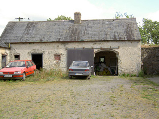 Carrickmoyragh Houseoutbuilding · 872 yd
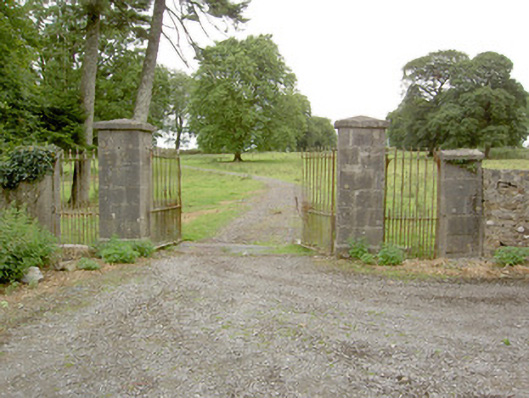 Saint Anne's Rectorygates/railings/walls · 968 yd
 Common LimeCommon Lime · 1.1 mi
 Pedunculate OakPedunculate Oak · 1.2 mi
 CastleforbesCastle · 1.3 mi
 Bawn in Castleforbes DemesneBawn · 1.3 mi
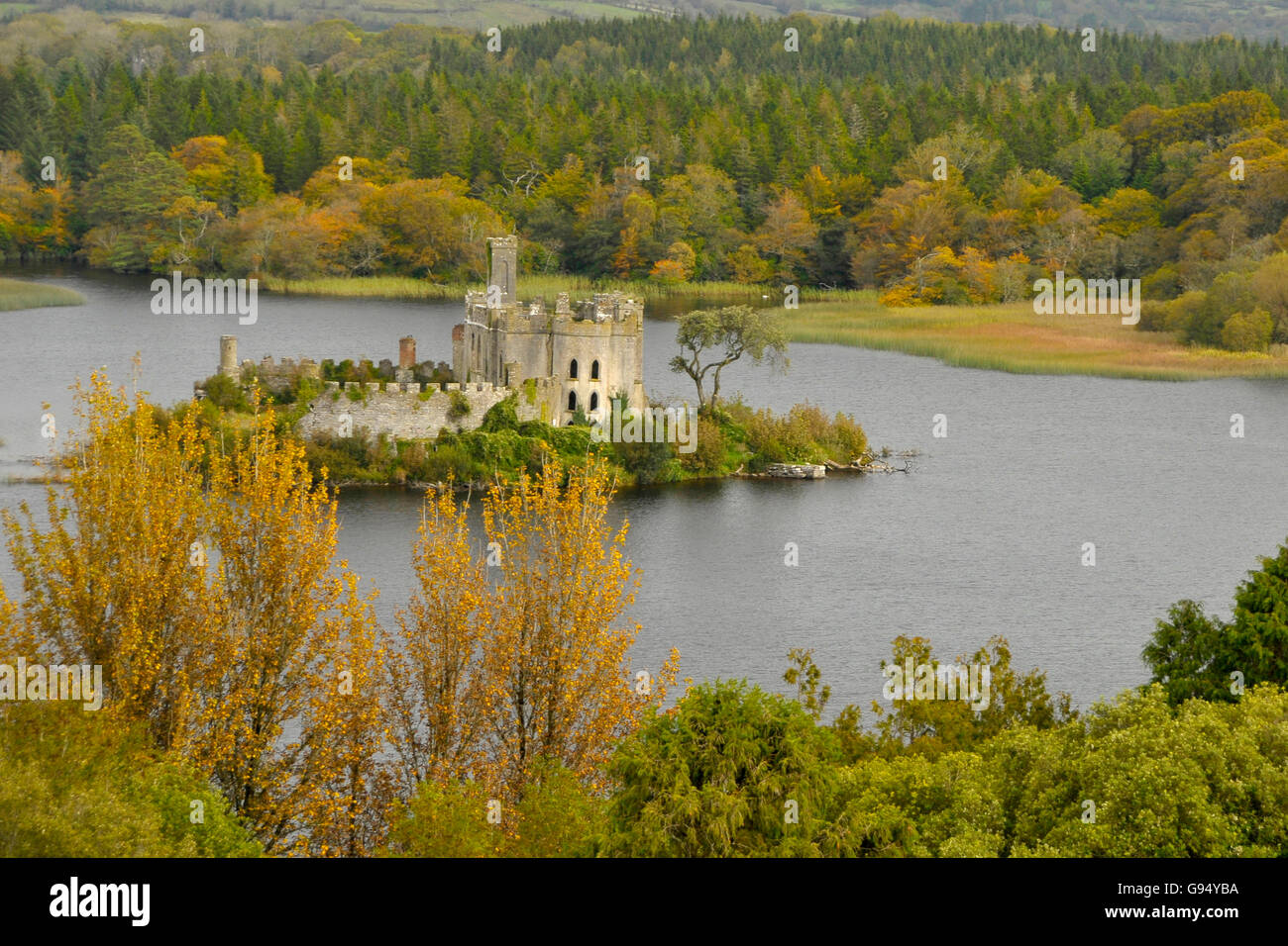 Sallow IslandCrannog · 1.8 mi
 Grave Yard (Disused)Graveyard · 1.8 mi
 Long IslandIslet · 3.1 mi
 St. Barry's WellSpring · 3.1 mi
 Saint Mel's CathedralCathedral · 3.7 mi
 First World War MemorialMemorial · 3.7 mi