What is recorded here
Mortons and others may have inhabited the Carrickbaun fort before it vanished into legend, yet no entrance survives to mark where they entered or left. The earth bank still stands two metres wide on the drumlin crest, enclosing a grassy circle thirty-eight metres across while a shallow fosse rings the outside like a forgotten boundary. Trees planted around 2010 now hem the fort in green, forcing anyone who wants to see the whole shape to climb the bank or fly above the canopy.
Situated on top of a low drumlin. This is a grass and rush-covered subcircular area (int. dims 38.4m E-W; 34.5m N-S) defined by an overgrown earthen bank (Wth 2m; int. H 0.1-0.25m; ext. H 1.85-2.15m) and an external fosse (Wth of base 2.5m; D 0.35m). There is no identifiable original entrance. It is unplanted within a forest planted c. 2010 (Bing 2013).
The above description is derived from 'The Archaeological Inventory of County Leitrim' compiled by Michael J. Moore (Dublin: Stationery Office, 2003). In certain instances the entries have been revised and updated in the light of recent research.
Date of upload: 23 September 2008
The monument record does not grant public access. Check the route and ask the landowner before entering private land.
- What survives
- Recorded monument
Places near here
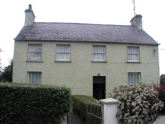 schoolschool · 1087 yd
 Saint Patrick's Catholic Churchchurch/chapel · 1102 yd
 Sweat House (in Ruins)Sweathouse · 1.6 mi
 Spiranthes IslandsIslet · 1.7 mi
 Holy islandIslet · 1.9 mi
 Enclosure in LoughconwayEnclosure · 1.9 mi
 Rocking StoneNamed rock · 3.2 mi
 Leabaidh DermotCave · 3.2 mi
 Castle JohnCastle · 3.3 mi
 Sheemore Ambush MemorialMonument · 3.3 mi
 Derreenargan WoodWood · 3.3 mi
 GubcormonganHeadland · 3.9 mi