What is recorded here
Located on a short and fairly low NW-SE ridge. This is a subcircular grass-covered area (dims 21.5m NW-SE; 16.5m NE-SW) defined by a grass-covered earthen bank (at S: Wth of base 2.7m; int. H 0.1m; ext. H 0.85m) incorporating some rock outcrop, but there is no visible fosse. An entrance (Wth 2.5m) at SE is probably original.
The above description is derived from the published 'Archaeological Inventory of County Monaghan' (Dublin: Stationery Office, 1986). In certain instances the entries have been revised and updated in the light of recent research.
Revised by: Michael Moore
Date of revision: 9 May 2018
The monument record does not grant public access. Check the route and ask the landowner before entering private land.
- What survives
- Recorded monument
Places near here
 Megalithic tomb in Gragarnagh,greagh (cremorne By.)Megalithic tomb · 581 yd
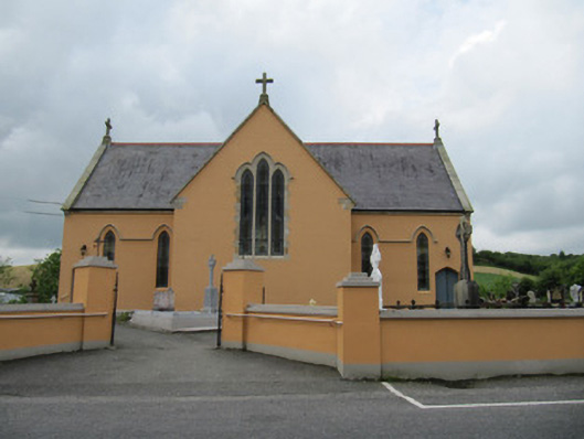 Saint Mary's Catholic Churchchurch/chapel · 643 yd
 Annahaia National Schoolschool · 671 yd
 Carrickinare fortFairy fort / earthen ringfort · 1.2 mi
 Lough Egish IslandIslet · 2.2 mi
 IllanshivansIslet · 2.4 mi
 Tally WoodWood · 2.7 mi
 Laragh WoodForest · 2.9 mi
 Monaghan WayWalking route · 4.6 mi
 Fincarn HillMountain / peak · 4.7 mi
 Senator Billy Fox 1939 - 1974Memorial · 4.8 mi
 The CrescentMemorial · 5.1 mi