What is recorded here
Fairy fort / earthen ringfort in Carrickakillew: a raised circular area, about 29m inside, enclosed by a low earthen bank. Most of the bank has been taken into the field boundary, and the true entrance has disappeared, but the round shape still reads like a room built for people. In Carrickakillew it may have been a home, a boundary marker, or a place where neighbours argued about who owned what. The fairies are the part humans invented later; the earth and the field are the part that remained.
Raised circular area (int. diam. c. 29m) enclosed by a low earthen bank and very slight traces of a fosse identifiable only at N. From ENE-S-SSW bank has been modified and incorporated into the field boundary. Original entrance not recognisable.
The above description is derived from the published 'Archaeological Inventory of County Cavan' (Dublin: Stationery Office, 1995). In certain instances the entries have been revised and updated in the light of recent research.
Date of upload/revision: 22 December 2008
The monument record does not grant public access. Check the route and ask the landowner before entering private land.
- What survives
- Recorded monument
Places near here
 CarrickabaneMountain / peak · 458 yd
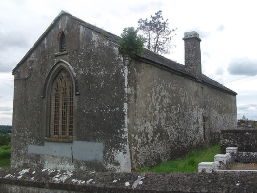 Drumloman Church of Ireland Churchchurch/chapel · 678 yd
 Church in Carrick (clanmahon By.)Church · 772 yd
 Moynagh Upper ForestForest · 968 yd
 Carrick RockWood · 1533 yd
 CarrickMountain / peak · 1.3 mi
 Sporting RockIslet · 1.5 mi
 IndicatedCrannog · 1.5 mi
 Watty's RocksIslet · 1.6 mi
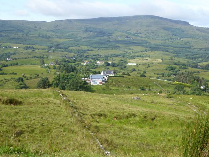 Tony FortArchaeological place · 1.7 mi
 IdicatedCastle, unclassified · 2.6 mi
 R. C. ChapelChurch · 1363 yd