What is recorded here
Fairy fort / earthen ringfort in Carrick (Roscrea parish) is a fairy fort or earthen ringfort in Carrick (Roscrea parish), County Tipperary, Ireland. The circular site measures 30.7 metres north to south and 30.4 metres east to west. A well-preserved earth and stone bank forms the boundary, reaching 1.13 metres externally and 0.9 metres internally. No ditch is visible at ground level, and modern narrow gaps in the bank provide cattle access rather than a defined ancient entrance.
Situated on a break in a gentle NW-facing slope in undulating hilly pastureland. A circular ringfort (diam. 30.7m N-S; 30.4m E-W) defined by a well-preserved bank of earth and stone (Wth 0.9-1.1m; int. H 0.9m; ext. H 1.13m) with no fosse visible at ground level. There is no clearly defined entrance feature visible but a number of modern narrow gaps in bank give access to cattle.
The above description is derived from 'The Archaeological Inventory of County Tipperary. Vol. 1 - North Tipperary' compiled by Jean Farrelly and Caimin O'Brien (Dublin: Stationery Office, 2002). In certain instances the entries have been revised and updated in the light of recent research.
Date of upload/revision: 22 September 2008
The monument record does not grant public access. Check the route and ask the landowner before entering private land.
- What survives
- Recorded monument
Places near here
 Enclosure in Carrick (roscrea Par.)Enclosure · 299 yd
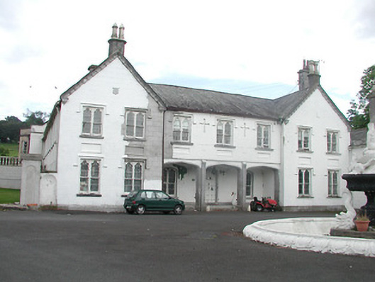 Inane Housecountry house · 936 yd
 LisnageehaArchaeological place · 1342 yd
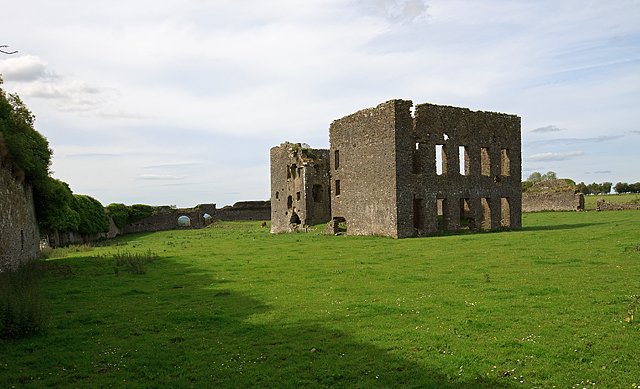 IndicatedBawn · 1604 yd
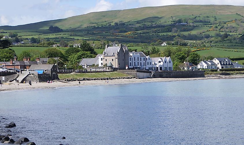 Castle (in ruins)Castle, tower house · 1628 yd
 Kiln in Boola (bourney Par.)Kiln · 1.4 mi
 Roscrea Petty Sessions HouseHeritage attraction · 2.4 mi
 White MulberryWhite Mulberry · 2.6 mi
 European ashEuropean ash · 2.7 mi
 Millennium GardenMemorial · 3.4 mi
 Golden Grove HillMountain / peak · 3.8 mi
 Eagle HillMountain / peak · 3.8 mi