What is recorded here
No visible trace remains at Carranroe Lower, yet the land still carries the memory of a ringfort. Men may have built it, but the fairies took it back when they left, pulling the earth into themselves and refusing to share it with human hands. What looks like empty field is actually a threshold, waiting for someone reckless enough to cross it.
The Archaeological Survey of Ireland (ASI) is in the process of providing information on all monuments on The Historic Environment Viewer (HEV). Currently the information for this record has not been uploaded. To access available information for research purposes please make an appointment in advance with the Archive Unit (open Fridays 10.00 am – 5.00 pm), Department of Housing, Local Government and Heritage, The Custom House, Dublin 1 D01W6XO or email NMarchive@housing.gov.ie.
The monument record does not grant public access. Check the route and ask the landowner before entering private land.
- What survives
- Recorded monument
Places near here
 Carranroe Lower Ringfort (rath)Archaeological place · 5 yd
 Enclosure in KylemoreEnclosure · 861 yd
 Mount Garrett Bridgebridge · 1.3 mi
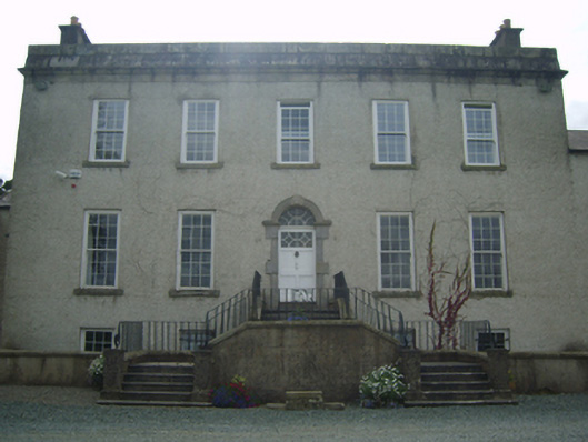 Rosemount Housecountry house · 1.4 mi
 CastleCastle, unclassified · 1.4 mi
 Coolhill Castle (in ruins)Castle, tower house · 1.8 mi
 Silver WattleSilver Wattle · 2.4 mi
 The Kiln FieldWood · 2.7 mi
 Crutched FriarsMemorial · 3.3 mi
 Graveyard in St. Mullin'sGraveyard · 3.4 mi
 The SpoutSpring · 3.5 mi
 Lacken HillMountain / peak · 3.5 mi