What is recorded here
Fairy forts are earthen ringforts people stopped using before maps existed. This one in Carra, County Galway, has been cut back by fields and marsh until only a shallow ridge and a faint ditch remain. What is left is large enough to have held a home, a yard and a boundary, but small enough that the land quickly took it back.
On a ridge in marshy grassland. Very poorly preserved subcircular rath (52m NNW-SSE; 45m ENE-WSW) defined by a scarp and external fosse. The scarp is visible from SE to W and from NW to NE. The fosse is only evident from S to W. A field boundary cuts through the monument at SE and SW.
Compiled by: Galway Archaeological Survey, UCG
Date of upload: 23 January 2017
The monument record does not grant public access. Check the route and ask the landowner before entering private land.
- What survives
- Recorded monument
Places near here
 Field system in Carrowmore (loughrea By.)Field system · 317 yd
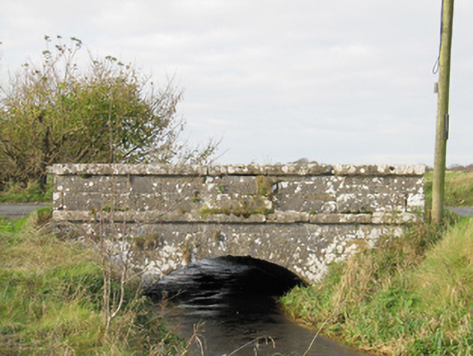 Carra Bridgebridge · 504 yd
 LisheenafinogeFairy fort / earthen ringfort · 965 yd
 BenmoreHouse, 18th/19th century · 1.1 mi
 Turoe StoneHeritage attraction · 2.2 mi
 Galboley Castle (in ruins)Castle, unclassified · 2.2 mi
 Drought Castle (in Ruins)Castle, tower house · 2.9 mi
 Dartfield Horse MuseumHeritage attraction · 3.0 mi
 Woodlawn WoodsForest · 4.6 mi
 Large-leaved LimeLarge-leaved Lime · 4.9 mi
 Bush IslandIslet · 5.2 mi
 Middle IslandIslet · 5.2 mi