What is recorded here
Carnin holds a vast earthen ring, sixty-four metres across, where a substantial bank and shallow fosse enclose a forgotten circular life. A break at the east seam suggests the original entrance, while a modern laneway cuts past the southern edge. The soil remains deep enough to hide bones, tools and the breath of whoever first shaped the field into a fort.
Raised circular area (int. diam. c. 64m) enclosed by a substantial earthen bank and a wide, shallow fosse. An earlier report (OPW 1970) suggested that the counterscarp bank which is identifiable at the outer lip of the fosse from WSW-WNW may be a relatively modern feature. Modern laneway runs outside of the fosse from S-WSW. Break in bank at ESE may represent original entrance.
The above description is derived from the published 'Archaeological Inventory of County Cavan' (Dublin: Stationery Office, 1995). In certain instances the entries have been revised and updated in the light of recent research.
Date of upload/revision: 22 December 2008
The monument record does not grant public access. Check the route and ask the landowner before entering private land.
- What survives
- Recorded monument
Places near here
 Holy Trinity Church of Ireland Churchchurch/chapel · 805 yd
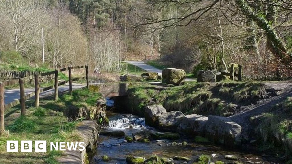 Carn ForestForest · 1.1 mi
 Rasuddan ForestForest · 1.1 mi
 CarnMountain / peak · 1.2 mi
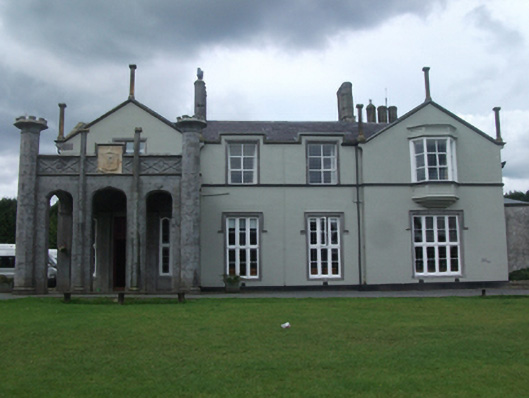 Kilnacrott House(The Cavan Centre)country house · 1.3 mi
 CastleCastle, ringwork · 1.3 mi
 Saint Joseph's Catholic CemeteryMemorial · 1.4 mi
 Church of IrelandMemorial · 1.5 mi
 Aghalion HillMountain / peak · 1.7 mi
 Sheela-na-gig (present location) in Kilmore (castlerahan By., Ballyjamesduff Ed)Sheela-na-gig (present location) · 1.8 mi
 Scouts wind vaneMonument · 1.8 mi
 The GPO ExhibitionMuseum · 1.8 mi