What is recorded here
Carnaun holds a forty-three-metre earthen ring on a woodland ridge, marked by two banks, a central ditch and a southern entrance gap wide enough for three people to walk abreast. Trees now crowd the interior while missing bank sections expose the harsh reality that humans took stone and soil from the very walls they once built. The fort still stands as a circular shadow beneath the branches, inviting imagination about the lives that turned its entrance or watched the valley from its crest.
On the crest of a ridge in mixed woodland. Circular rath (diam. 43m), in fair condition, defined by
two banks and an intervening fosse. The monument has been planted with trees. Sections of the inner bank and the interior have been quarried out at SSE, SW and N. There is a
causewayed entrance gap (Wth 3m) at S (Cody 1989, 185-6, no. 40).
Compiled by: Galway Archaeological Survey, UCG
Date of upload: 20 January 2017
The monument record does not grant public access. Check the route and ask the landowner before entering private land.
- What survives
- Recorded monument
Places near here
 IndicatedEnclosure · 454 yd
 Field system in Carnaun (athenry By.)Field system · 557 yd
 Convent (in ruins)Castle, ringwork · 597 yd
 RoadRoad, road/trackway · 662 yd
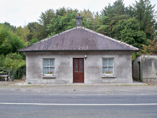 Castle Ellen Housegate lodge · 1708 yd
 Castle (in ruins)Castle, tower house · 1.3 mi
 First Battle of Athenrybattle · 2.0 mi
 Horse-chestnutHorse-chestnut · 2.3 mi
 Athenry CastleHeritage attraction · 2.5 mi
 Athenry AbbeyHeritage attraction · 2.6 mi
 The HazelWood · 2.7 mi
 Rabbit IslandIslet · 10 mi