What is recorded here
No fairy ever touched the place, only people. They raised a forty-four metre ring of earth and stone in Galway pasture, then cut a narrow line across the middle and dug a hole in the north-east for building material. The field marks still radiate outward like forgotten roads. What the chamber held, who closed it, and why the ring survived are all gone. The grass has eaten the answer, but the shape still resists forgetting.
In gently undulating pastureland. Aerial reconnaissance in November 1987 (ASGAP 375:60) revealed a poorly preserved enclosure with a depression in the interior that possibly marked the site of Man-made underground passage. On inspection this proved to be a rath (diam. 44.7m) defined by a bank of earth and stone. A low bank (Wth 1.5m) cut across the interior from E to W. The depression noted on the aerial photograph proved to be a quarried-out area in the NE quadrant. Low banks of earth and stone (Wth c. 2m) radiating from the monument at SW and NW are possibly an associated field system (GA105-210001-).
Compiled by: Galway Archaeological Survey, UCG
Date of upload: 2 June 2017
The monument record does not grant public access. Check the route and ask the landowner before entering private land.
- What survives
- Recorded monument
Places near here
 Field system in CarnField system · 43 yd
 Man-made underground passage in CarnMan-made underground passage · 280 yd
 KilnKiln, lime · 1.1 mi
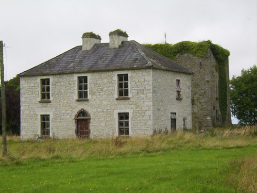 Ballybroder Househouse · 1.1 mi
 Bush IslandIslet · 1.7 mi
 Middle IslandIslet · 1.7 mi
 Ballygasty Castle in ruinsCastle, unclassified · 1.7 mi
 Long PointHeadland · 1.8 mi
 Drought Castle (in Ruins)Castle, tower house · 2.4 mi
 Dartfield Horse MuseumHeritage attraction · 2.6 mi
 Turoe StoneHeritage attraction · 3.7 mi
 Quarryhill WoodWood · 8.1 mi