What is recorded here
Situated on a low ridge on well drained pasture-land with good views to W & N, restricted views to E & S. The site is now covered in woodland as can be seen on Digital Globe aerial photographs taken November 2011. A roughly circular area (approx. diam. 41m N-S; 35m E-W) defined by a substantial earthen bank, wide deep fosse, and external bank with causewayed entrance at NE. The external fosse may have been deepened in relatively modern times when the dry masonry was being built. The external bank has evidence of stone facing of post-1700 appearance which is clearly visible From E-S. From NE to SW there are the remains of a stone facing or wall lying on top of the defaced and flattened outer bank. The outer bank has remains of a berm on the inside and in places there are stones laid on edge on the outer lip of the inner fosse. The outer end of the entrance gap is closed or blocked by a stone wall of post-1700 date. The interior is uneven rising to the centre where the remains of a sub-circular house (WM001-032001-) can be seen. An L-shaped depression extending out from this structure may be the line of a Man-made underground passage (WM001-032003-). In the S sector there are remains of a smaller house or hut site of sub-circular plan (WM032002-).
Compiled by: Frank Coyne & Caimin O'Brien
Date of upload: 17 November 2016
The monument record does not grant public access. Check the route and ask the landowner before entering private land.
- What survives
- Recorded monument
Places near here
 Hut site in CarlanstownHut site · 1 yd
 Rock of CurryCliff · 758 yd
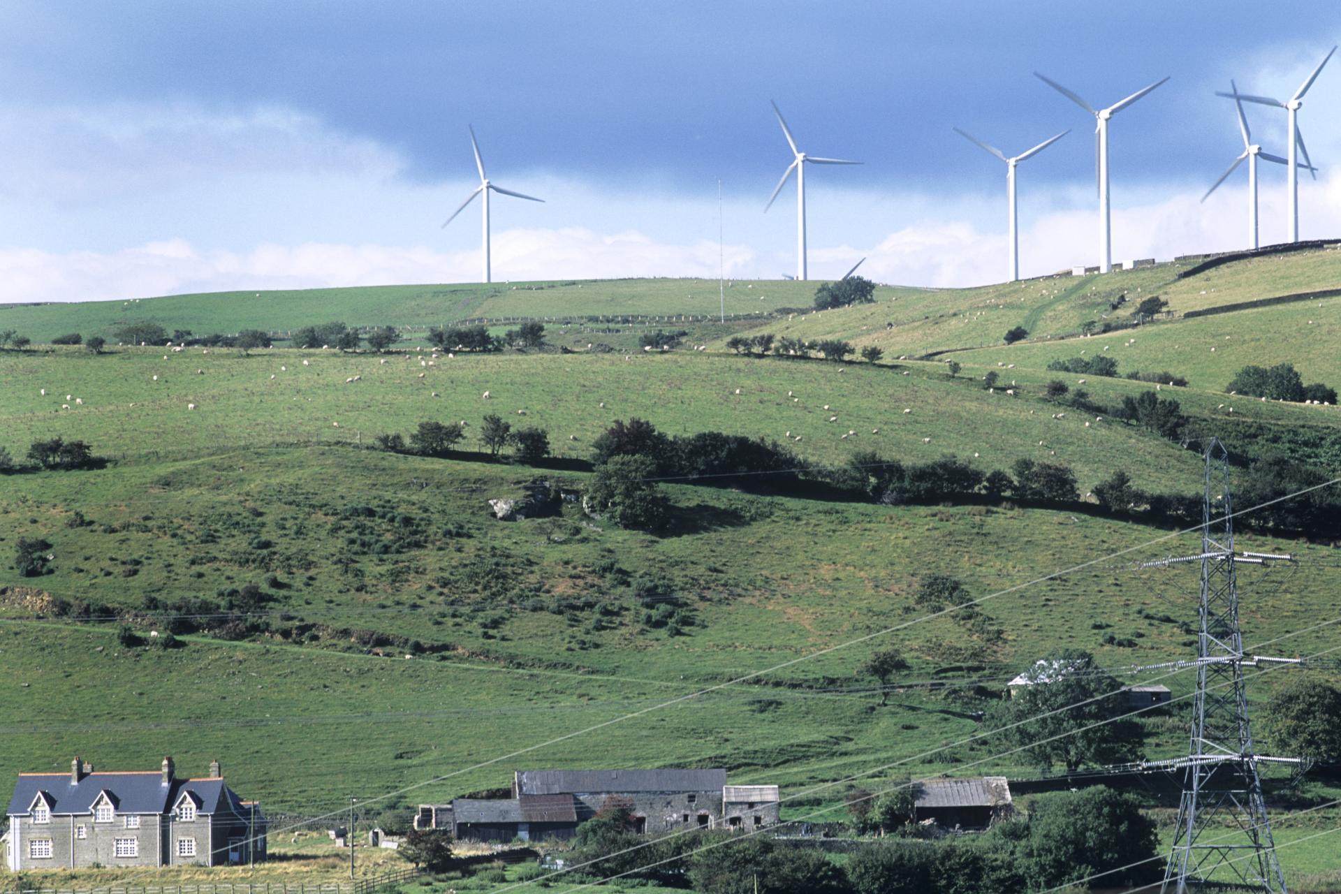 Field system in BigwoodField system · 941 yd
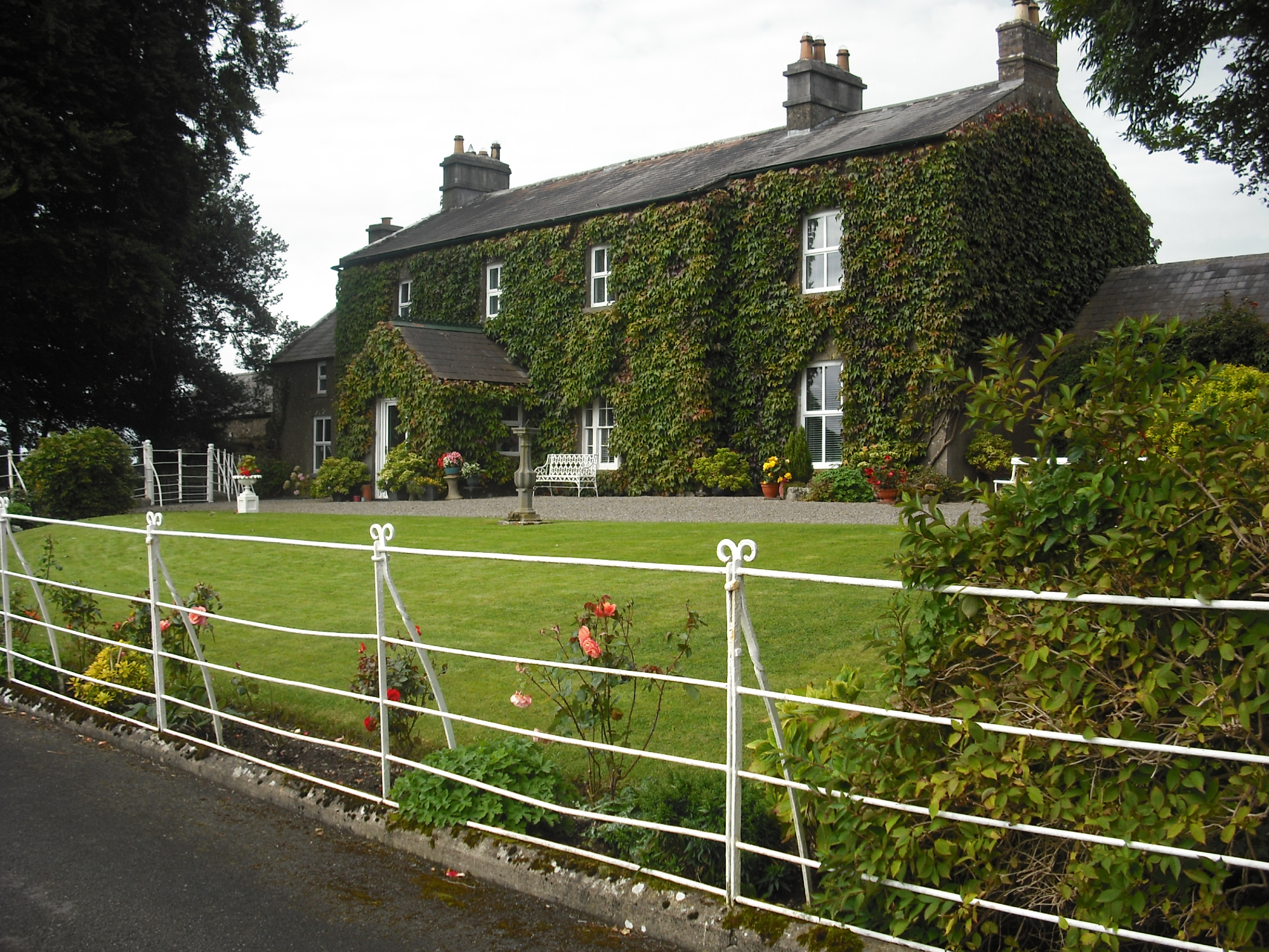 Carlanstown Housefarm house · 1073 yd
 Carlanstown CastleHouse, fortified house · 1112 yd
 Castle (in Ruins)Castle, unclassified · 1271 yd
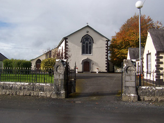 Saint Michael's Catholic Churchchurch/chapel · 1.2 mi
 Mullaghmeen White WalkWalking route · 2.1 mi
 Mullaghmeen Red WalkWalking route · 2.1 mi
 MullaghmeenMountain / peak · 2.2 mi
 Mullaghmeen ForestPicnic place · 2.2 mi
 European ashEuropean ash · 3.1 mi