What is recorded here
No human named the work, but the measurements leave no room for fantasy. A forty-four-metre circular rath stands in low grassland, marked by two banks with a fosse between them. Parts of the inner bank have vanished, yet the outer bank still stretches from northwest through east to southwest. Field walls radiate from it like marks made by a hand pulling a cart through mud. The fort is not a fairy tale; it is a shaped earthwork large enough to exclude that excuse.
In low-lying grassland. Roughly circular rath (diam. c. 44m), in fair condition, defined by two
banks and an intervening fosse. No trace of the inner bank survives from ENE to ESE or from SSE to SSW. The outer bank is visible from NW through E to SW. Field walls radiate from the monument at NW and SW.
Compiled by: Galway Archaeological Survey, UCG
Date of upload: 19 January 2017
The monument record does not grant public access. Check the route and ask the landowner before entering private land.
- What survives
- Recorded monument
Places near here
 Enclosure in SrahdooEnclosure · 881 yd
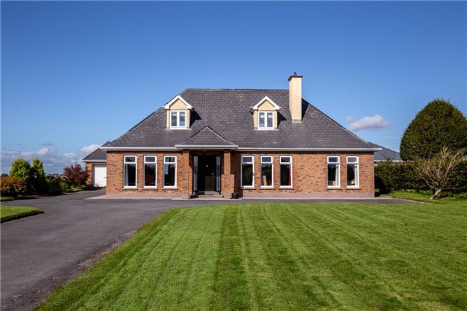 RathsonnyFairy fort / earthen ringfort · 902 yd
 Ballynamantragh CastleCastle, unclassified · 997 yd
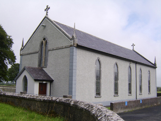 Saint Jarlath's Catholic Churchchurch/chapel · 1.3 mi
 Old R.C. Chapel (in ruins)Chapel · 1.3 mi
 Castle (in ruins)Castle, tower house · 1.7 mi
 Stone Islands SouthIslet · 2.6 mi
 Long PointHeadland · 2.7 mi
 Island McCooIslet · 2.8 mi
 Dartfield Horse MuseumHeritage attraction · 3.3 mi
 Quarryhill WoodWood · 6.0 mi
 Scalpeen RockNamed rock · 6.2 mi