What is recorded here
Mud and memory still hold the shape of Cargagh, where two earthen banks once circled a thirty-metre home. The outer ridge has surrendered elsewhere to field boundaries, but it remains visible from east-northeast to south-southeast, preserving the shadow of the entrance likely cut toward the rising sun. People may have lived there, feared there, or simply passed around its rim while believing the fort belonged to fairies.
Raised circular area (int. diam. c. 30m) enclosed by two earthen banks with intermediate fosse. The outer bank and fosse survive only from ENE-E-SSE. Elsewhere, outer bank is incorporated into the field boundary. Original entrance was probably at E.
The above description is derived from the published 'Archaeological Inventory of County Cavan' (Dublin: Stationery Office, 1995). In certain instances the entries have been revised and updated in the light of recent research.
Date of upload/revision: 22 December 2008
The monument record does not grant public access. Check the route and ask the landowner before entering private land.
- What survives
- Recorded monument
Places near here
 Site of Saint Davnet's ChapelArchaeological place · 1540 yd
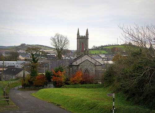 IndicatedHoly well · 1563 yd
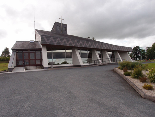 St Dymphna's Roman Catholic Churchchurch/chapel · 1574 yd
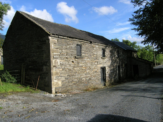 mill (water)mill (water) · 1698 yd
 Ancient Order of Hibernians MemorialMemorial · 1.1 mi
 AghadreenaghMountain / peak · 1.7 mi
 Raven's RockNamed rock · 2.2 mi
 Aghalackan EastMountain / peak · 2.2 mi
 To The Memory of P.J. DukeMemorial · 2.3 mi
 Killymeehan ForestForest · 2.5 mi
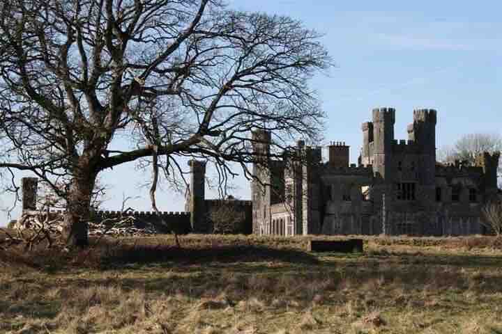 RavenswoodForest · 2.8 mi
 Carricknagore RockNamed rock · 3.6 mi