What is recorded here
No visible fort remains at Carbad More, though three other raths and a court tomb still mark the ridge within four hundred metres. The lost circle may have stood on the same overlooking terrace, its earth swallowed by pasture and time while the neighbouring stones waited out the centuries.
In pasture, on a terrace on the E-facing slope of a ridge. Ground falls away from the edge of the terrace to E−SE, providing fine views over the estuary of the River Moy and Killala Bay. To W the ridge slope rises gently.
A raised circular area or platform (20.5m E−W; 21.4m N−S) defined by a scarp topped in parts with remnants of a bank. The platform rises to a height of c. 1m above the surrounding field level.
On the W half of the circuit the scarp (1.1m) retains a low lip/remnant of a bank (Wth 1.2m; int. H 0.1m) which barely rises above internal ground level. On the NW arc this has a rough inner kerb of stones. On the E half the scarp (H 1.24m) is higher, to compensate for the natural fall of ground, and broadly slumped, with large stones protruding randomly from it, and large stones and boulders strewn at its base. Slight traces of an infilled external fosse (Wth c. 3.5m) noted in 1995 were no longer evident in a subsequent inspection in 2017.
A broad, poorly defined break (Wth c. 5m) in the scarp at W may be an original entrance.
Covered in long grass, thistles, nettles, with two small twisted hawthorn bushes on the scarp at SE. A farm track, flanked by post and wire fences, lies immediately to N−NNE.
There is are raths (MA014-066----; MA014-064----; MA015-092----) 175m to NNE, 270m to SSW and 400m to SE, respectively, and a court tomb (MA015-028----) is 400m to ESE.
Attached images;
MA014-065----_01.JPG viewed from W
MA014-065----_02.JPG viewed from E
Compiled by: Jane O’Shaughnessy
Date of upload: 22 July 2022
The monument record does not grant public access. Check the route and ask the landowner before entering private land.
- What survives
- Recorded monument
Places near here
 IndicatedFairy fort / ringfort · 898 yd
 CromlechsWedge tomb · 919 yd
 Rathfran Abbey in ruinsReligious house, Dominican friars · 1343 yd
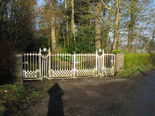 Palmerstown Housegates/railings/walls · 1500 yd
 Castle (in Ruins)Castle, tower house · 1697 yd
 Bawn in CarrickanassBawn · 1.2 mi
 Battle of Killalabattle · 2.4 mi
 Rinnaun PointHeadland · 2.4 mi
 TrabaunBeach / strand · 2.5 mi
 Green IslandIslet · 2.5 mi
 French Landing 1798Memorial · 3.3 mi
 Lisheen Grave YardArchaeological place · 3.3 mi