What is recorded here
Fairy fort in Cannaboe, County Leitrim: a grass-covered D-shaped platform, 20.5m by 19m and 0.7m high, ringed by a shallow round-bottomed fosse. The field bank at north cuts through part of the circle, and no entrance is certain. People may have lived there before forgetting the gate, leaving only a ridge of grass and a hollow line in the slope.
Situated towards the bottom of a gentle E-facing slope. This is a grass-covered D-shaped or sub-rectangular platform (dims 20.5m E-W; 19m N-S; H 0.7m) defined by a round-bottomed fosse (Wth of top 6-6.6m; D 0.2m) truncated slightly by a field bank at N, beyond which there is no evidence of the monument. The original entrance is not identified.
The above description is derived from 'The Archaeological Inventory of County Leitrim' compiled by Michael J. Moore (Dublin: Stationery Office, 2003). In certain instances the entries have been revised and updated in the light of recent research.
Date of upload: 23 September 2008
The monument record does not grant public access. Check the route and ask the landowner before entering private land.
- What survives
- Recorded monument
Places near here
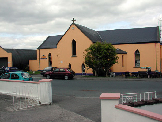 church/chapelchurch/chapel · 337 yd
 Saint Patrick's Catholic Churchchurch/chapel · 341 yd
 John Joe McGirlMonument · 633 yd
 EnclosureFairy fort / earthen ringfort · 1528 yd
 DrumbadMountain / peak · 1.9 mi
 DrumgownaghMountain / peak · 2.8 mi
 Cromlin Bridge WoodWood · 3.0 mi
 Turf IslandIsland · 3.0 mi
 Buck IslandIsland · 3.1 mi
 Swan Island pet farmHeritage attraction · 3.4 mi
 European ashEuropean ash · 3.8 mi
 Bawn in Cherry IslandBawn · 3.9 mi