What is recorded here
Thirty-eight metres of raised earth still mark the Campstown rath, though centuries of ploughing and rain have softened its edge into a low ridge. The wide break at the east-north-east likely served as the entrance, inviting people onto the circular ground while the shallow ditch faded into grass. Modern banking along the south-west slope now mimics an ancient berm, blurring the line between human making and natural change. What remains is a quiet invitation to imagine the lives that turned this small world into a home.
Raised circular area (int. diam. c. 38m E-W) enclosed by a much-denuded low earthen bank and a wide, shallow fosse identifiable only from W-NW-N.From S-SW-W a low modern bank has been built against the natural slope outside the rath, which gives the impression of a berm at the foot of the scarp. Wide break in bank at ENE probably represents original entrance.
The above description is derived from the published 'Archaeological Inventory of County Cavan' (Dublin: Stationery Office, 1995). In certain instances the entries have been revised and updated in the light of recent research.
Date of upload/revision: 22 December 2008
The monument record does not grant public access. Check the route and ask the landowner before entering private land.
- What survives
- Recorded monument
Places near here
 Scarvy Bridgebridge · 673 yd
 IndicatedEnclosure · 884 yd
 CastleCastle, unclassified · 1535 yd
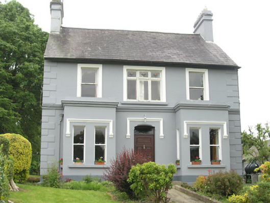 Riverside Househouse · 1681 yd
 Cabragh RingfortArchaeological place · 1.2 mi
 Cordoagh Glebe Upper ForestForest · 1.4 mi
 Cornanurney ForestForest · 1.4 mi
 Graveyard in Drumgoon (clankee By.)Graveyard · 1.5 mi
 CornanurneyMountain / peak · 1.7 mi
 Giants GraveArchaeological place · 2.1 mi
 Brown's HillMountain / peak · 2.6 mi
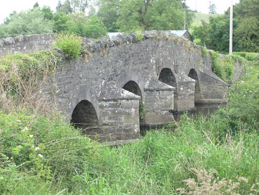 Lawson's Ford Bridgebridge · 1705 yd