What is recorded here
Fairy fort in Callahow, County Limerick: a 34m earthen ring on a west-facing slope, its entrance worn by cattle and its ditch deepened into a field drain. The uneven ground inside still shows through the grass, hinting at rooms, hearths or trod paths now lost beneath pasture. Whatever life moved there before the cows, the circle kept its shape while the details softened into legend.
In pasture, on W-facing slope. Circular area (diam. c. 34m) enclosed by earthen bank (int. H 0.5m; ext. H 1.25m) with an external fosse (D 0.7m; Wth 2.4m); enclosing element covered in overgrowth. Causeway entrance (Wth 2.4m) at W, much eroded by cattle accessing interior. Fosse deepened as field drain NNW->SSW. Interior surface is
noticeably uneven, and under pasture.
Compiled by: Denis Power
Date of upload: 26 August 2011
The monument record does not grant public access. Check the route and ask the landowner before entering private land.
- What survives
- Recorded monument
Places near here
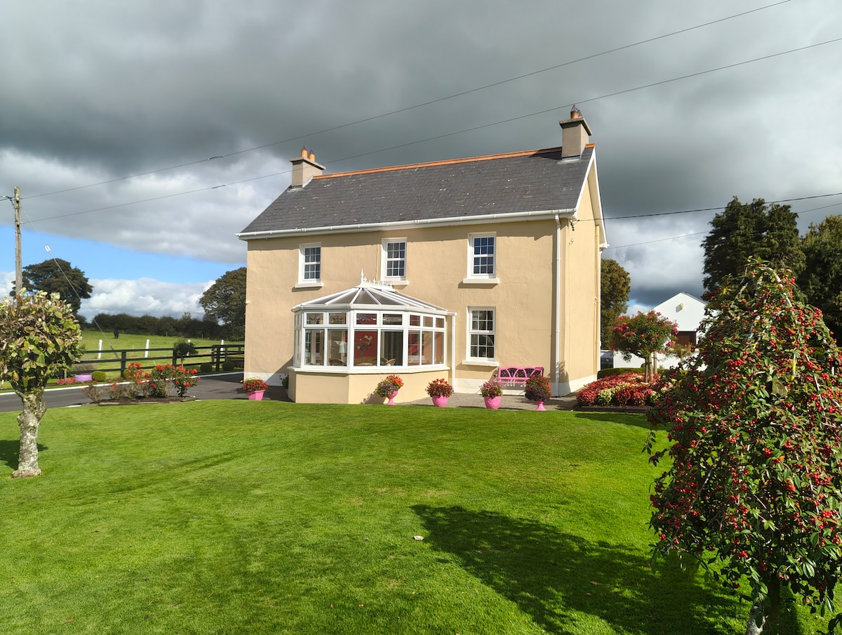 Enclosure in Gardenfield EastEnclosure · 1260 yd
 Moated site in AhadaghMoated site · 1717 yd
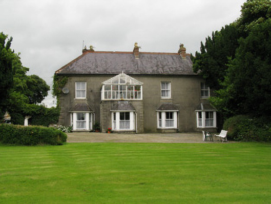 Highmount Housefarm house, house · 1.0 mi
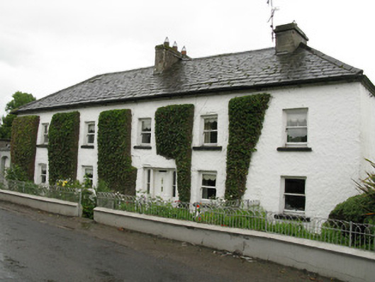 Feenagh Housefarm house, house · 1.1 mi
 CastleCastle, unclassified · 1.2 mi
 ToberacappeenSpring · 1.3 mi
 ToberhoranSpring · 1.9 mi
 National Co-op MuseumMuseum · 2.5 mi
 Castle (in Ruins)Castle, Anglo-Norman masonry castle · 3.0 mi
 Mullaghareirk - Banane LoopWalking route · 8.1 mi
 Ballagh MountainMountain / peak · 8.1 mi
 Battle of LiscarrollMajor battlefield · 8.6 mi