What is recorded here
The Ordnance Survey Letters (1838-40) note 'a remarkable round and pretty high hillock which (the locals) call a moate, but which, however, has no sign or vestige of a moate on or about it'.(O'Flanagan 1928, 81).
Compiled by: Claire Breen
Date of upload: 06 February 2013
A fairy fort / earthen ringfort in Calary Upper is a circular earthen enclosure likely dating to the early medieval period, used as a defensive or agricultural settlement. Local tradition refers to it as a "moate," though no moat exists, and it is associated with folklore surrounding fairies and other supernatural beings.
The monument record does not grant public access. Check the route and ask the landowner before entering private land.
- What survives
- Recorded monument
Places near here
 Calary Churchchurch/chapel · 1075 yd
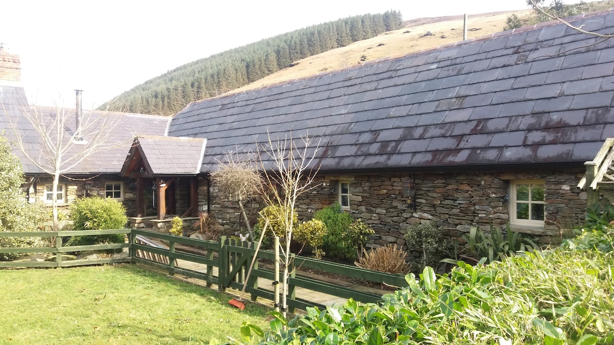 Enclosure in GlasnamullenEnclosure · 1.0 mi
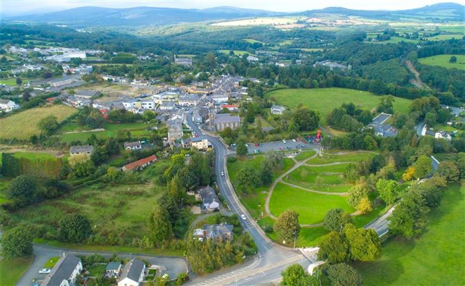 Enclosure in Ballyremon CommonsEnclosure · 1.1 mi
 Church in Kilmurry South (rathdown By.)Church · 1.6 mi
 Great SugarloafMountain / peak · 1.6 mi
 Deerpark TrailWalking route · 1.7 mi
 Great Sugar LoafMountain · 1.7 mi
 The Sugar Loaf WayWalking route · 1.8 mi
 Carrigower BogNature reserve · 1.9 mi
 Giant SequoiaGiant Sequoia · 2.0 mi
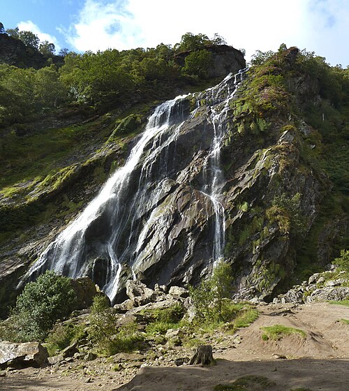 Powerscourt WaterfallWaterfall · 2.0 mi
 Johnny Fox's MemorialMemorial · 2.8 mi